Reservoirs and dams in the Harz
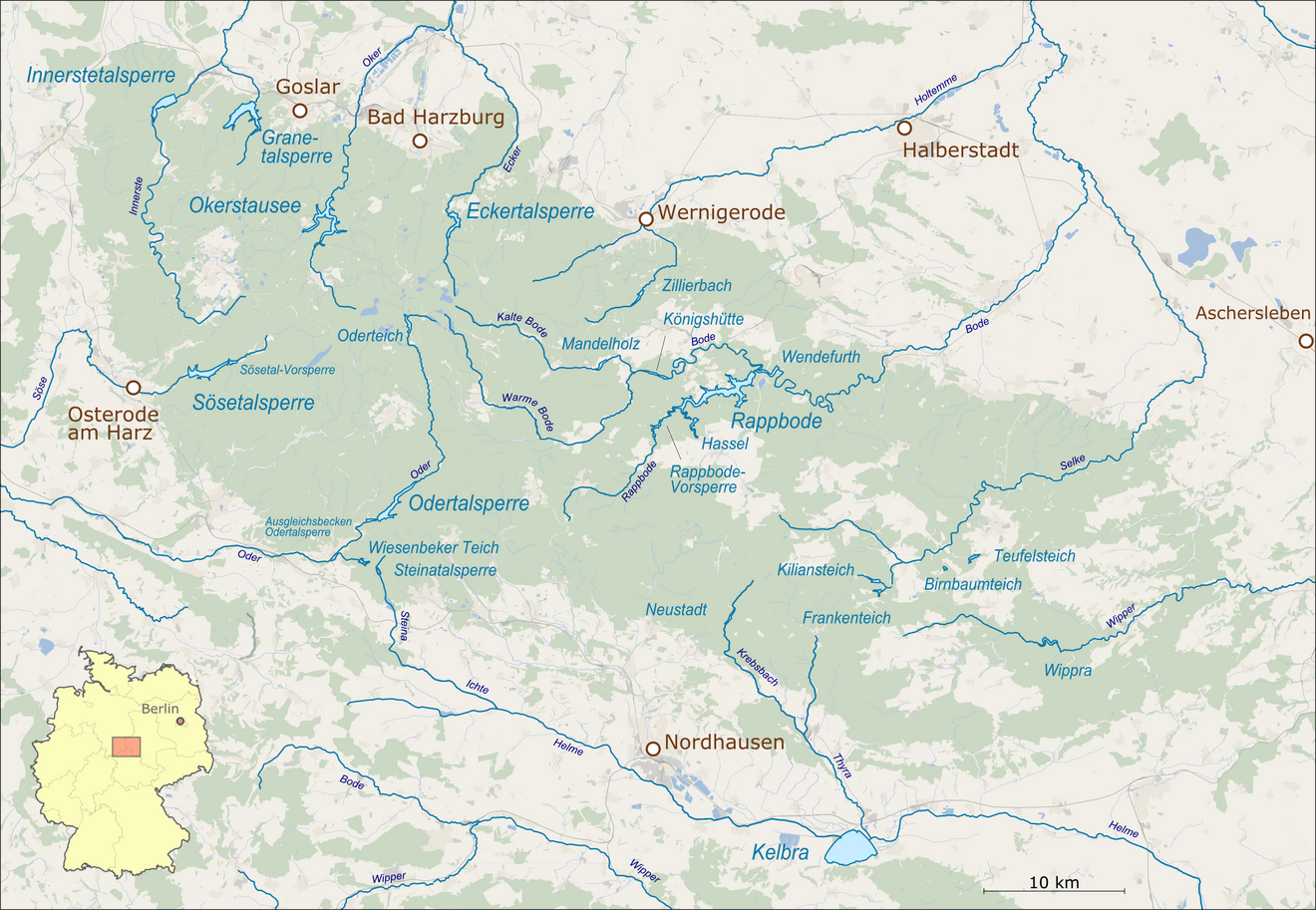
The breathtaking landscape of the Harz is characterised not only by dense forests, imposing mountains and idyllic half-timbered towns, but also by impressive dams. They serve as water supply, flood protection, energy generation and, last but not least, as popular recreation and leisure destinations for nature lovers, hikers and water sports enthusiasts.
The mighty Harz dams are capable of storing up to 400 million cubic metres of water. From summer bathing experiences to mystical winter landscapes, they offer a fascinating backdrop in every season. This is precisely what makes them a popular subject for amateur photographers and hikers.
From the Rappbodetalsperre dam to the Okertalsperre dam and the Granetalsperre dam – each of them has its own unique charm and history. In this article, you will learn which dams in the Harz region are particularly worth seeing and what activities await you there.
Rappbodetalsperre dam: A highlight for holidaymakers
The Rappbodetalsperre dam should be at the top of your checklist of Harz dams, as it is considered the most popular of its kind and it is not for nothing that it attracts numerous visitors year after year. It is located between Hasselfelde and Blankenburg on the B81 and was built between 1952 and 1959 and then extensively renovated at the turn of the millennium. A total of 860,000 cubic metres of reinforced concrete were used to build the gravity dam. At a total height of 106 metres, the 415-metre-wide dam is considered to be the highest concrete dam in the whole of Germany and is capable of holding back over 109 million cubic metres of water over an area of 390 hectares.
Like many of the Harz dams, the Rappbodetalsperre serves to protect against flooding and to generate hydroelectric power, and is a central component of the Harz water supply. It dams the Rappbode and its tributaries, the Hassel and Zillierbach, and is part of the largest contiguous dam system in the Harz, which includes several other reservoirs, with the Wendefurth Dam as the lower reservoir. Unlike some other Harz dams, swimming or boating is unfortunately not permitted on the reservoir due to its use as a drinking water reservoir.
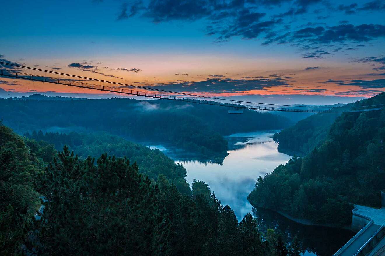
The dam is a real highlight, not only because of its impressive size, but also because of the wide range of leisure activities it offers. Thanks to the Harzdrenalin leisure park, adventure-seekers in particular will get their money's worth here. An absolute must on a trip to the Rappbodetalsperre is the Titan-RT suspension bridge, which, at 458 metres long, is one of the longest suspension bridges in the world and offers spectacular views of the reservoir at dizzying heights. If you are feeling particularly daring, you should definitely not miss the Megazipline. It is one of the longest double zip lines in Europe, crosses the dam and carries adrenaline junkies to the other side at speeds of up to 85 km/h – an unforgettable experience.
At the edge of the reservoir, the 39-metre-high Solitaire viewing tower soars into the sky. Thanks to two glass platforms, it offers a wide-ranging view of the Titan RT suspension bridge and the Rappbode Valley as far as the Harz foreland. And if that's not enough adventure, the Harzdrenalin leisure park offers even more, sometimes daring, leisure activities, including a pendulum jump from the suspension bridge, wall running, a 5D cinema and even a human catapult.
Oker Dam: Adventure and relaxation
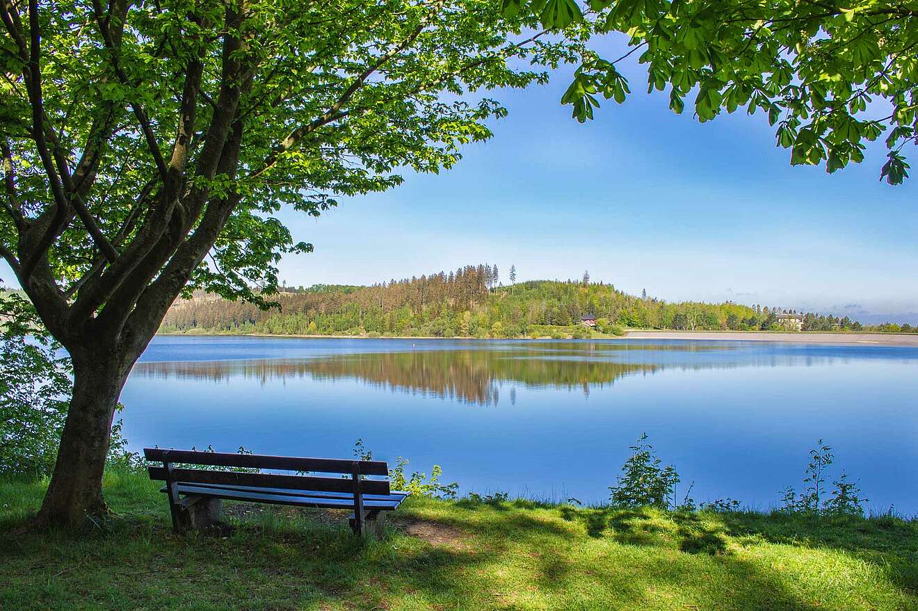
The Oker Dam, situated in a beautiful natural setting south of Goslar in the Upper Harz region between Goslar and Altenau, offers pure idyll. Unlike the Rappbode Dam, all water sports are allowed on the Oker Reservoir, which is why it is a popular destination for water sports enthusiasts, hikers and nature lovers. From sailing and surfing to fishing and diving, there is a wide range of leisure activities on offer. The reservoir is particularly popular with anglers, mainly due to the variety of trout, pikeperch, pike and carp. However, anyone wishing to fish requires a special fishing licence, which is available from the local fishing club or online. A particularly exciting way to explore the Oker reservoir is to take the 90-minute boat trip on the MS Aquamarin, which stops at four jetties, including one near the dam, and offers unique views of the imposing dam wall.
The Oker Dam itself was built as a so-called arch gravity dam between 1938 and 1956 and, with a capacity of around 46.85 million cubic metres, can be described as the largest dam in Lower Saxony. It is 250 metres long, 65 metres high and serves as flood protection, for power generation, low water regulation and drinking water supply for neighbouring towns. It also dams one of the most important rivers in the Harz, the Oker, which flows through the impressive Oker Valley.
The Oker reservoir has a water surface of two square kilometres and is characterised by numerous branches. Seen from the air, it is easy to see why the reservoir is often referred to as the ‘blue Y’ – for example, at the height of the Dietrichsberg mountain range, the lake divides into two main arms, creating its characteristic shape.
The Oker Dam is easily accessible by car via the B498 federal highway, making it a popular destination for day-trippers. The dam is surrounded by numerous hiking trails, including a circular route around the reservoir and routes that lead to nearby excursion destinations such as the Kästeklippe or the Romkerhaller waterfall.

Granetal Dam: The youngest dam in the Harz
The youngest of all the Harz dams is the Grane Dam in the northern Harz near Goslar, which was built between 1966 and 1969. With a height of around 62 metres and a length of 600 metres, the earthfill dam, covered with an asphalt concrete seal, is one of the largest in the Harz. The dam blocks the Grane, a tributary of the Oker, which rises near Hahnenklee and contributes to the region's water supply. In addition, the Wiehnbach, Varleybach and other small mountain streams flow into the reservoir.
The dam is also supplied with water through the Oker-Grane tunnel and the Radau tunnel. With a capacity of around 46 million cubic metres and a water surface of 2.19 km², the reservoir serves to protect against flooding and to raise low water levels – but its primary purpose is to supply drinking water. It is considered one of the most important drinking water dams in Lower Saxony, supplying water to cities such as Hannover, Braunschweig and Hildesheim, among others. Due to the use of drinking water, leisure activities such as swimming or fishing are not allowed at the lake. The use of boats or other watercraft is also not permitted due to strict regulations to protect the quality of the drinking water.
But even without water sports, the Grane Dam is a popular year-round excursion destination. For example, there is a 17-kilometre hiking and biking trail around the reservoir. It takes about 4.5 hours to walk around the reservoir on a paved path, and this route is suitable for fit walkers. In addition, numerous other hiking trails extend from the Grane reservoir to the surrounding areas. For example, a hiking trail leads from the car park at the dam wall to the Steinberg, which is 472 metres high and is a moderately difficult route of about seven kilometres. In addition to hiking trails, there is also something to learn here: the Harzwasserwerke (Harz waterworks) offer several exhibitions with interesting facts about drinking water treatment, as well as the opportunity to visit a waterworks.
Innerstetalsperre: Technical marvel
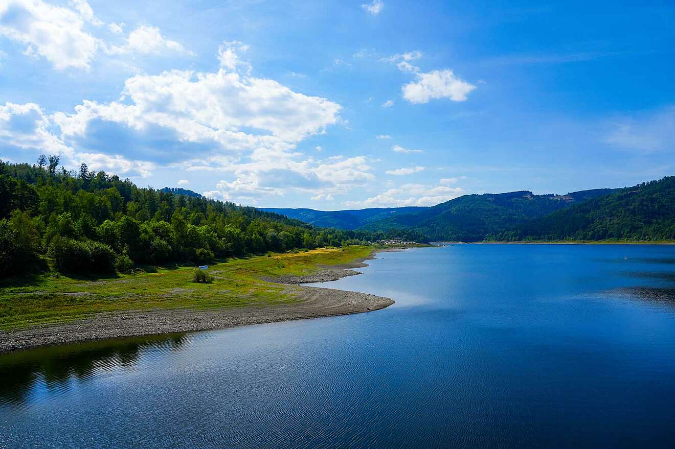
The Innerste Dam, located in the western Harz near Langelsheim, to the west of Wolfshagen, is characterised by its striking overflow tower, whose funnel is designed to prevent the water from overflowing the dam. If necessary, water from the Innerste Dam can be diverted via an underground tunnel to the Granetal Dam, where it is pumped around 90 metres upwards. The funnel is unique in the Harz region and can only be found here in this form. From a technical point of view, the Innerste Dam also differs from many other dams in the Harz region – unlike many of them, it has an asphalt concrete outer seal. The dam is about 40 metres high and the crown is about 750 metres long, making it the longest dam in the Harz region sealed with asphalt concrete. The total volume of the dam itself is around 850,000 cubic metres. The storage capacity, on the other hand, is a maximum of 19.26 million cubic metres of water, with the reservoir covering an area of around 139 hectares when full. In addition, the maximum water level is 261 metres above mean sea level.
The Innerste Dam, operated by the Harzwasserwerke GmbH, was built between 1963 and 1966, and a comprehensive renovation of the dam was carried out exactly 40 years later, in 2003. In particular, measures were taken to renew the asphalt seal and the bottom outlet, which were finally completed in 2005. The dam is fed by the Innerste River, a tributary of the Leine River, and is used for drinking water production, flood protection, regulation of low water levels and energy generation. Despite its important role in drinking water production, the Innerste Dam has a lot to offer in terms of leisure activities and is considered a popular local recreation area. From sailing, surfing, stand-up paddling and swimming to fishing, everything is allowed – only motorboats are not allowed on the reservoir. A circular hiking trail around the lake is about seven kilometres long and is also suitable for cyclists, offering magnificent views of the Innerste Dam.
Oder dam: A destination for water sports enthusiasts
The Oder dam is a particular paradise for water sports enthusiasts – it is considered a worthwhile excursion destination due to the wide range of leisure activities available at the dam. In the warm summer months in particular, numerous guests jump into the cool water to swim, surf, sail, stand-up paddle or even go canoeing or kayaking. Anglers also regularly enjoy the good fish population – trout, carp, eels, perch, pike, tench and whitefish are particularly common here.
The Oder Valley Dam is located in the southern Harz, about 4 kilometres south of Bad Lauterberg. The popular dam can be easily reached by car via the B27, with parking available in the immediate vicinity. The dam was built between 1930 and 1933 as an earth and stone fill dam. Even at the time of its construction, the construction of the gravity dam was an impressive engineering project. The dam was renovated between 2010 and 2015, with extensive measures being taken to improve its stability.
It is 316 metres long, 62 metres high and holds a maximum water volume of around 30.4 million cubic metres, making it one of the largest dams in the Harz region. The surface of the reservoir is about 136 hectares, and the maximum depth is 60 metres. It differs from other Harz dams in its striking, elongated reservoir, which meanders fjord-like through the valley.
The primary purpose of the Oder Valley Dam is to protect against flooding by absorbing large amounts of water and releasing it in a controlled manner to prevent flooding in the Harz foreland. It also plays a central role in raising low water levels, supplying drinking water and, last but not least, generating electricity. The energy generated by the Oder Valley Dam is produced by a so-called Francis turbine, which produces around 6 million kWh of electricity annually and can thus supply up to 1,500 households with green electricity.
Sösetalsperre: Pure nature for anglers and hikers
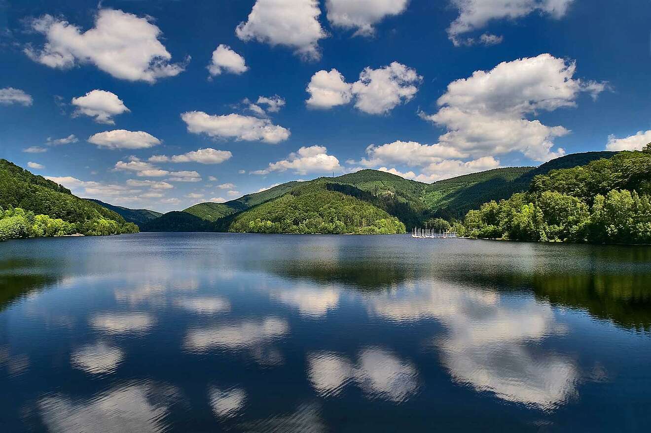
The Sösetalsperre is located in the southern Harz near Osterode and was built between 1928 and 1931, making it one of the oldest dams in the Harz. It is located directly on the B498, which leads from Osterode to Riefensbeek-Kamschlacken, surrounded by rolling hills and lush mixed forests. It can hold around 25.5 million cubic metres of water, which extends over an area of 1.24 square kilometres and a length of about 3.5 kilometres. The Sösetalsperre is about 56 metres high and about 490 metres long. It is used primarily for water level regulation, flood protection, energy generation and drinking water supply. The latter is also the reason why all water sports activities on the reservoir are prohibited to protect the water quality. The lake of the Sösetalsperre feeds the river Söse, which continues to flow through Osterode after the dam and connects with the Rhume.
The small auxiliary dam upstream of the main dam retains sediments, thus ensuring the water quality in the main basin. The associated hydroelectric power plant, which is used during regular water release, has an output of approximately 1.44 megawatts, while the storage basin ensures a consistent water supply.
Even though water sports are not allowed on the reservoir, anglers can still enjoy themselves, because after presenting a health certificate, fishing is allowed on the lake. Numerous predatory fish live here, including pikeperch and pike, which are regularly pulled out of the water, sometimes of considerable size. Not only anglers, but also hikers get their money's worth when visiting the Sösetalsperre. A 9.9-kilometre circular route runs around the reservoir, offering beautiful views of the lake and interesting information about the surrounding fauna. You will also find an informative fishing nature trail on the southern shore, which has been installed here by the Osterode fishing club.
Eckertal Dam: Peace and History
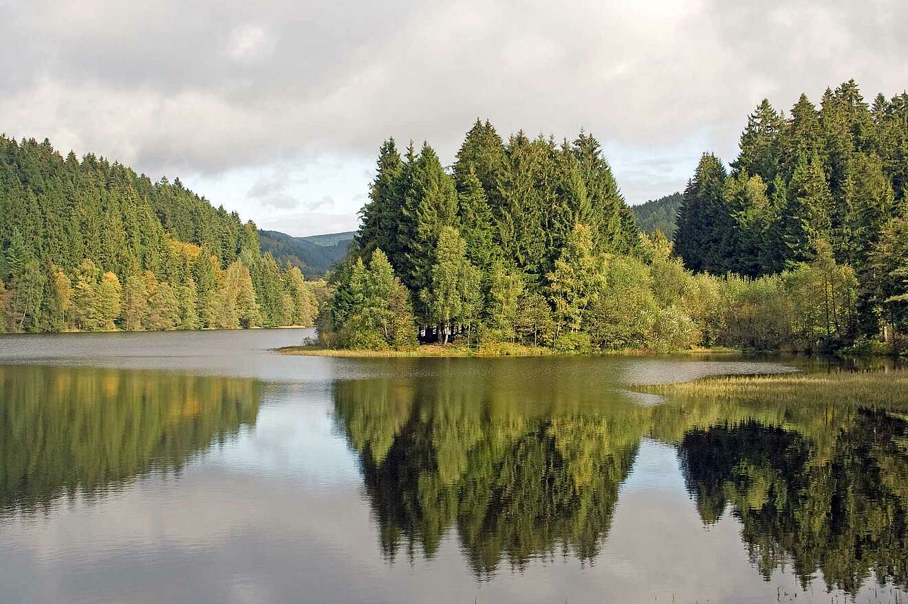
The smallest and highest dam at the foot of the Brocken Mountain is the Eckertal Dam on the border between Lower Saxony and Saxony-Anhalt, about 10 kilometres south of Bad Harzburg. Built between 1939 and 1943, it is an important source of drinking water for the surrounding towns. Unfortunately, due to its central importance for the Harz drinking water system, leisure activities such as bathing and water sports are not allowed here. The water of the Eckertal Dam is characterised by its particular softness and purity before it is further processed in a waterworks located below the dam. In addition to its function as a drinking water supply, the dam also serves to protect against flooding and to generate energy. The concrete gravity dam has a crest height of 65 metres and a crest length of 235 metres and is capable of holding up to 13.27 million cubic metres of water over an area of 0.68 square kilometres. Incidentally, it is surrounded by hard magma rock.
The Eckertalsperre was of particular importance during the division of Germany, as the dam was located directly on the former inner German border between the FRG and the GDR. Today, a memorial plaque commemorates the former inner German border, which divided the Eckerstausee until 1990 and for decades made it impossible to cross from one side of the lake to the other.
Unlike many other dams in the Harz, the Eckert dam is not accessible by car, but only on foot via forest paths. For example, the dam can be hiked from Torfhaus or the Radau waterfall. Alternatively, the Frankenbergweg, which is part of the Teufelsstieg, leads past the northern and northeastern part of the idyllic reservoir.
Complete overview of all dams in the Harz Mountains
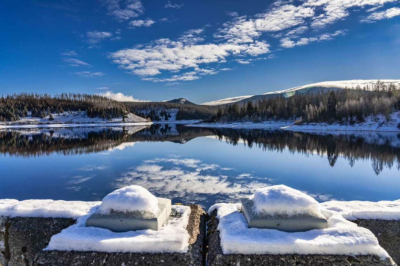
The following table provides an overview of all the dams in the Harz Mountains, along with useful information on their size, design, purpose and much more.
| Dam | Watercourse | State | Construction time | Crown height | Crown length | Area | Volume | Use |
|---|---|---|---|---|---|---|---|---|
| Birnbaumteich | Birnbaumbach | ST | 1764 - 1769 | 13,4 m | 140 m | 0,35 km² | 0,19 Mio. m³ | HWS, NEG |
| Eckertalsperre | Ecker | NI/ST | 1939 - 1942 | 65 m | 235 m | 0,68 km² | 13,27 Mio. m³ | E, HWS, TWv |
| Frankenteich | Rödelbachgraben | ST | ? - 1724 | 17 m | 150 m | 0,11 km² | 0,462 Mio. m³ | F, HWS, NEG, NWA |
| Granetalsperre | Grane | NI | 1966 - 1969 | 67 m | 600 m | 2,19 km² | 46,39 Mio. m³ | TWv, E, HWS |
| Hassel Vorsperre | Hassel | ST | 1956 - 1960 | 21 m | 141,3 m | 0,25 km² | 1,64 Mio. m³ | F, TWv |
| Innerstetalsperre | Innerste | NI | 1963 - 1966 | 40 m | 750 m | 1,39 km² | 20,00 Mio. m³ | E, HWS, NEG, NWA, TWv |
| Talsperre Kelbra | Helme | ST / TH | 1962 - 1966 | 12,7 m | 4066 m | 6,00 km² | 35,60 Mio. m³ | BWv, HWS, NEG |
| Kiliansteich | Büschengraben | ST | 1989 - 1994 | 24,6 m | 210 m | 0,173 km² | 1,07 Mio. m³ | F, HWS, NEG, NWA |
| Kiliansteich (Vorsperre) | Büschengraben | ST | 1989 - 1994 | 7,7 m | 110 m | 0 km² | 0,06 Mio. m³ | F, HWS, NEG, TWv |
| Talsperre Königshütte | Bode | ST | 1939 - 1956 | 18,2 m | 108 m | 0,32 km² | 1,20 Mio. m³ | E, F, HWS, NWA, TWv |
| Mandelholztalsperre | Kalte Bode | ST | 1952 - 1957 | 28,4 m | 224 m | 0,55 km² | 4,47 Mio. m³ | E, HWS, NWA |
| Talsperre Neustadt | Krebsbach (Thyra) | TH | 1904 - 1905 | 32 m | 134,6 m | 0,14 km² | 1,24 Mio. m³ | TWv |
| Odertalsperre | Oder (Rhume) | NI | 1930 - 1933 | 62 m | 316 m | 1,36 km² | 30,61 Mio. m³ | E, HWS, NEG, NWA |
| Oderteich | Oder (Rhume) | NI | 1715 - 1722 | 22 m | 153 m | 0,30 km² | 1,668 Mio. m³ | BWv, E |
| Okertalsperre | Oker | NI | 1938 - 1956 | 75 m | 260 m | 2,25 km² | 47,40 Mio. m³ | E, HWS, NEG, NWA, TWv |
| Okervorsperre | Oker | NI | 1953 - 1954 | 20 m | 100 m | 0,12 km² | 0,52 Mio. m³ | E, HWS, NEG, NWA, TWv |
| Rappbodetalsperre | Rappbode | ST | 1938 - 1959 | 106 m | 415 m | 3,90 km² | 109,80 Mio. m³ | E, F, HWS, NWA, TWv |
| Rappbode-Vorsperre | Rappbode | ST | 1958 - 1961 | 25 m | 118 m | 0,243 km² | 1,66 Mio. m³ | F, TWv |
| Sösetalsperre | Söse | NI | 1928 - 1931 | 56 m | 485 m | 1,24 km² | 25,50 Mio. m³ | E, HWS, NWA, TWv |
| Steinatalsperre | Steina | NI | 1950 - 1958 | 8,5 m | 80 m | 0,01 km² | 0,07 Mio. m³ | TWv |
| Teufelsteich | Teufelsgrundbach | ST | ? - 1696 | 20,3 m | 211 m | 0,19 km² | 0,758 Mio. m³ | F, HWS, TWv |
| Talsperre Wendefurth | Bode | ST | 1957 - 1967 | 44 m | 230 m | 0,78 kn² | 8,54 Mio. m³ | E, HWS, NEG, NWA |
| Wendefurth Oberbecken | Bode | ST | 1957 - 1966 | 22 m | 1440 m | 0,26 km² | 1,97 Mio. m³ | E |
| Wiesenbeker Teich | Wiesenbek (Rhume) | NI | ? - 1715 | 18 m | 120 m | 0,07 km² | 0,48 Mio. m³ | BWv |
| Talsperre Wippra | Wipper (Saale) | ST | 1951 - 1952 | 24,9 m | 126 m | 0,32 km² | 2,00 Mio. m³ | E, TWv |
| Zillierbachtalsperre | Zillierbach | ST | 1934 - 1936 | 45 m | 186,5 m | 0,24 km² | 2,63 Mio. m³ | F, HWS, TWv |
Other dams
The definition of what exactly is meant by a dam is set out in DIN 4048 Part 1 and in the water laws of the federal states. According to this, they are dams that block an entire valley cross-section beyond the cross-section of the watercourse and store water permanently. The crest of the dam must be at least five metres above the deepest point and the basin must hold more than 100,000 cubic metres of water when completely full.
Therefore, in addition to the table shown here, 30 of the Upper Harz reservoirs are considered part of the Upper Harz water management system, along with six ponds of the Lower Harz water management system and other Harz reservoirs as defined above. These are among the oldest dams in Germany that are still in operation today.
