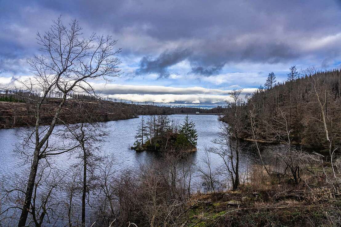
Zillierbachtalsperre
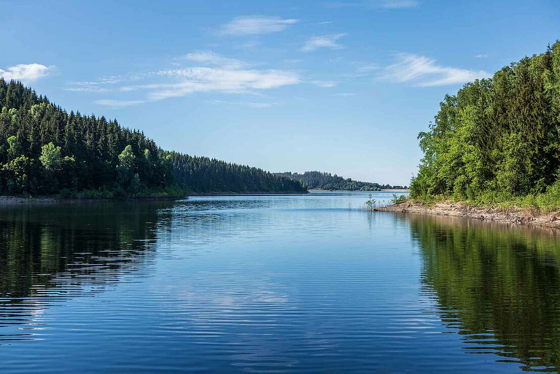
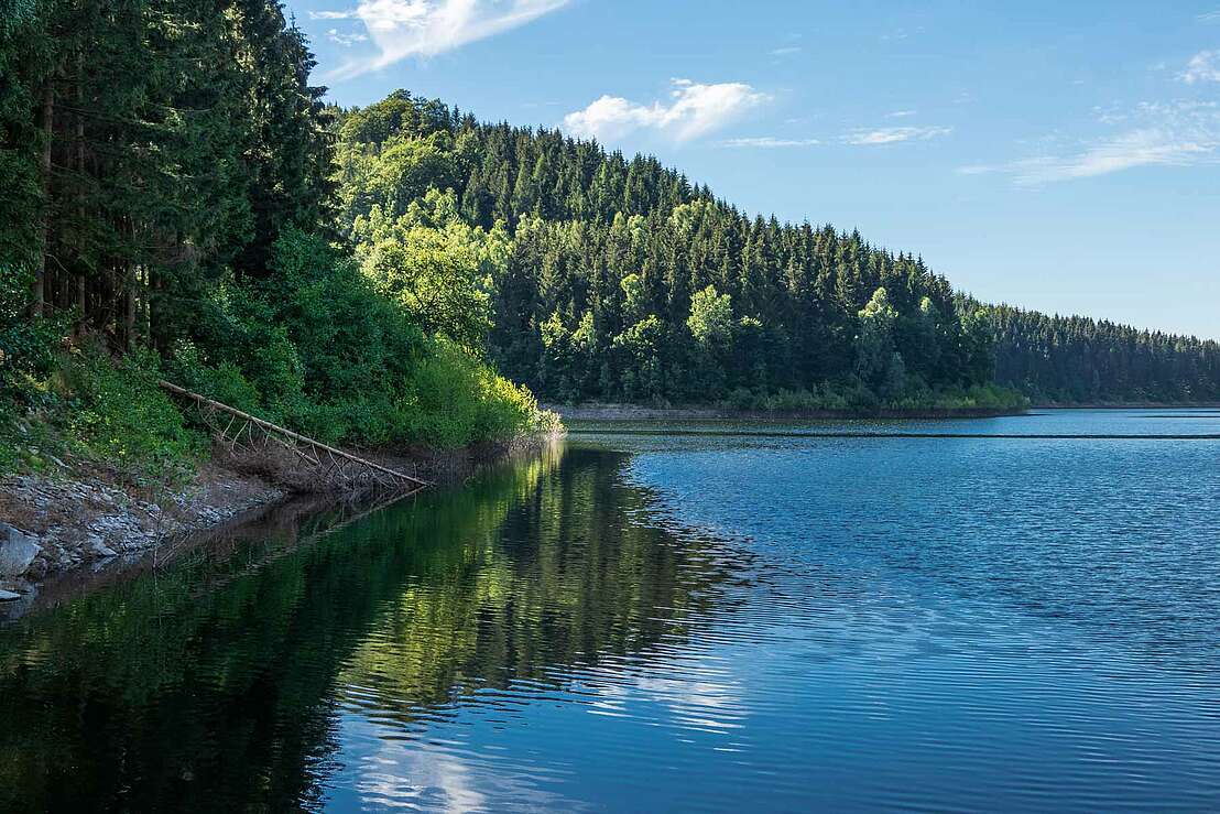
Water idyll surrounded by greenery
Excursion destinationsHarzspots Vacation planner
| Name | Date |
|---|
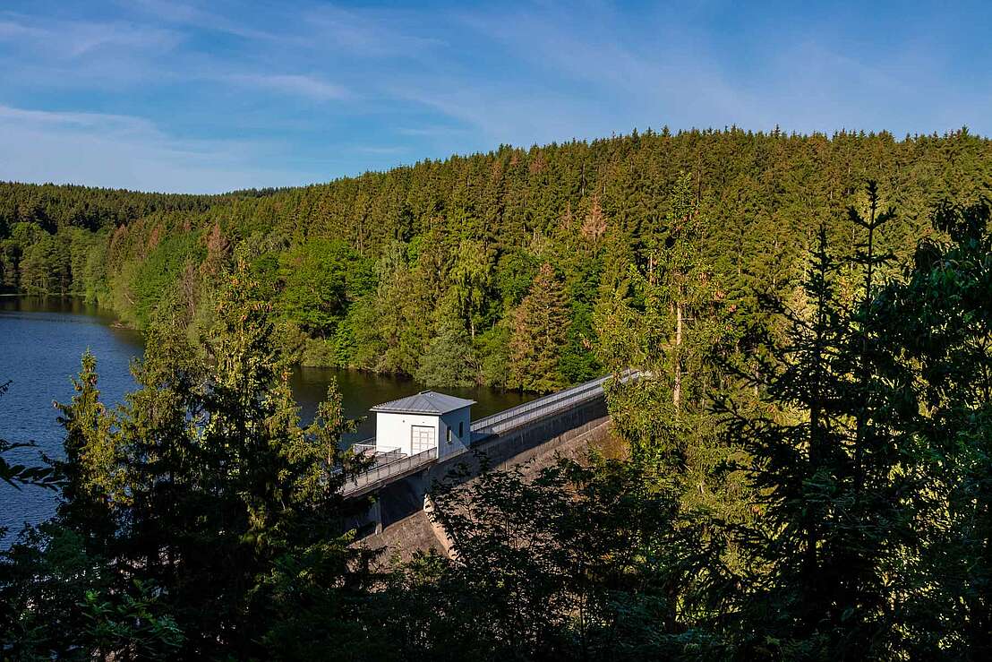
The Zillierbach dam, with its imposing dam wall 1400 metres long and 250 metres wide, is located in the eastern Harz region to the north-west of the town of Elbingerode. The view of the structure from the Peterstein is impressive, with 45 metres of concrete rising high into the landscape. Behind it, the water of the Zillierbach and several small streams from the mountains is dammed up. The Zillierbach dam is surrounded by a green natural idyll made up of dense rows of trees that lend the surroundings a charm all of their own.
Origin of the Zillierbach dam
Large volumes of water that used to flow through the Zillierbach exposed the town of Wernigerode to a severe flood risk. For this reason, the plan to dam the stream was developed in 1931, and the project began in 1934. During the construction work, artefacts dating back more than 3000 years from the Bronze Age were unearthed, and the dam was completed just two years later, in 1936. The dam was then extended and partially modernised between 1998 and 2000. As part of these construction measures, the dam crest was extended and the dam wall was raised by one metre, making it accessible to pedestrians.
In addition to flood protection, the Zillierbach dam in the Harz Mountains serves a second equally important purpose: it supplies the surrounding area, including the towns of Wernigerode and Elbingerode, with drinking water. A waterworks is located at the foot of the dam wall to treat the clean reservoir water, which produces around 2.92 million cubic metres of drinking water every year.
Circular hiking trail and stamping station
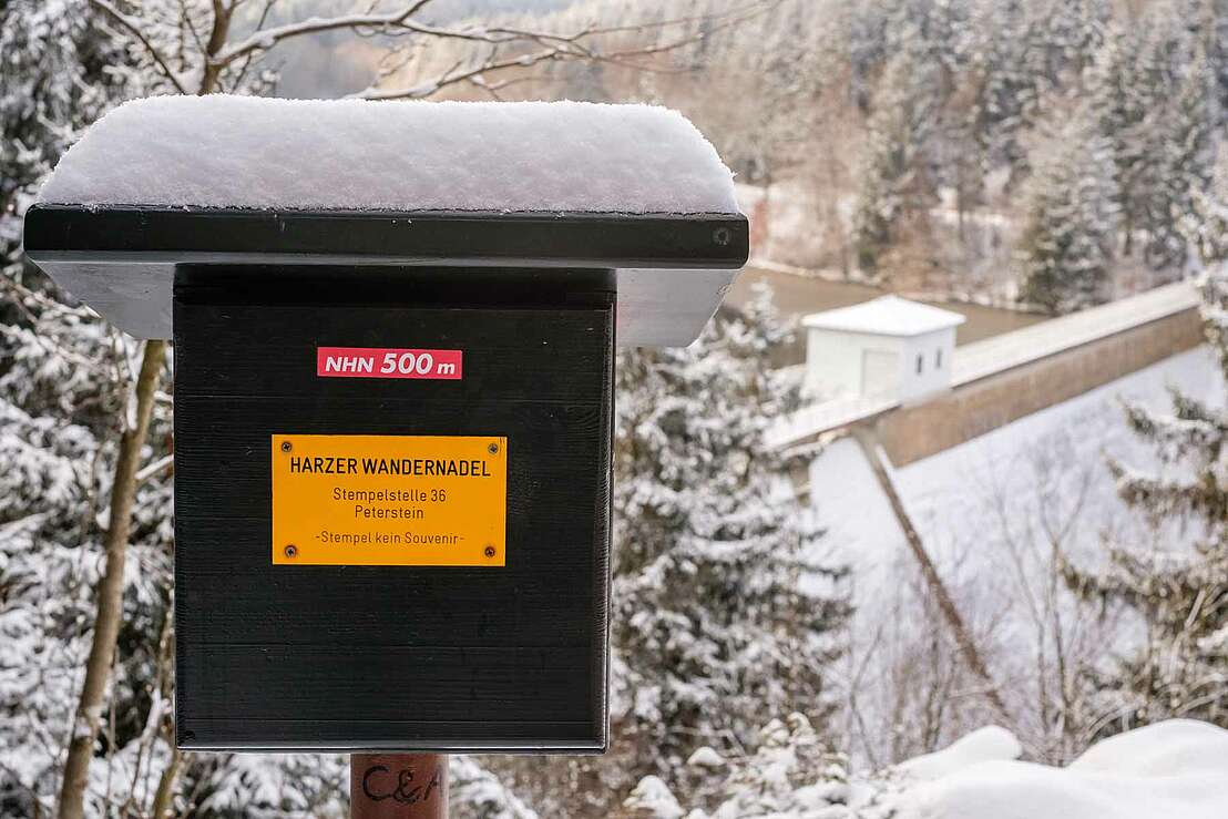
A 4.5-kilometre hiking trail runs around the Zillierbach dam, leading through the forest and even up to the shore in between. A highlight is the path over the dam wall, where you can look out over the expanse of water on the one hand and down into the depths on the other. An accessible peninsula near the eastern shore appears when the water level is low and invites you to explore the area. Hard-working hikers are of course also rewarded at the Zillierbach dam, because if you want to receive proof of the kilometres you have hiked, you can get a Harz hiking pin stamp at the Peterstein.
| Watercourse | Zillierbach |
| Construction period | 1934 - 1936 |
| Crown height | 45 m |
| Crown length | 186,5 m |
| Reservoir area | 0.24 km² |
| Reservoir volume | 2.63 million m³ |
| Type of use | Fishing Flood protection Drinking water supply |
Am Zillierbach
38855 Wernigerode
Harzspots gives you the
Komoot Harz Region Package for free!
Use our voucher from the Outdoor Navigators Komoot and get the „"Harz Regions Package“ free of charge. From now on you can get to know all hiking and cycling routes digitally and, if you wish, also voice-guided!
