Adlerklippen
Viewpoint and climbing rock in the Oker valley
Excursion destinationsHarzspots Vacation planner
| Name | Date |
|---|
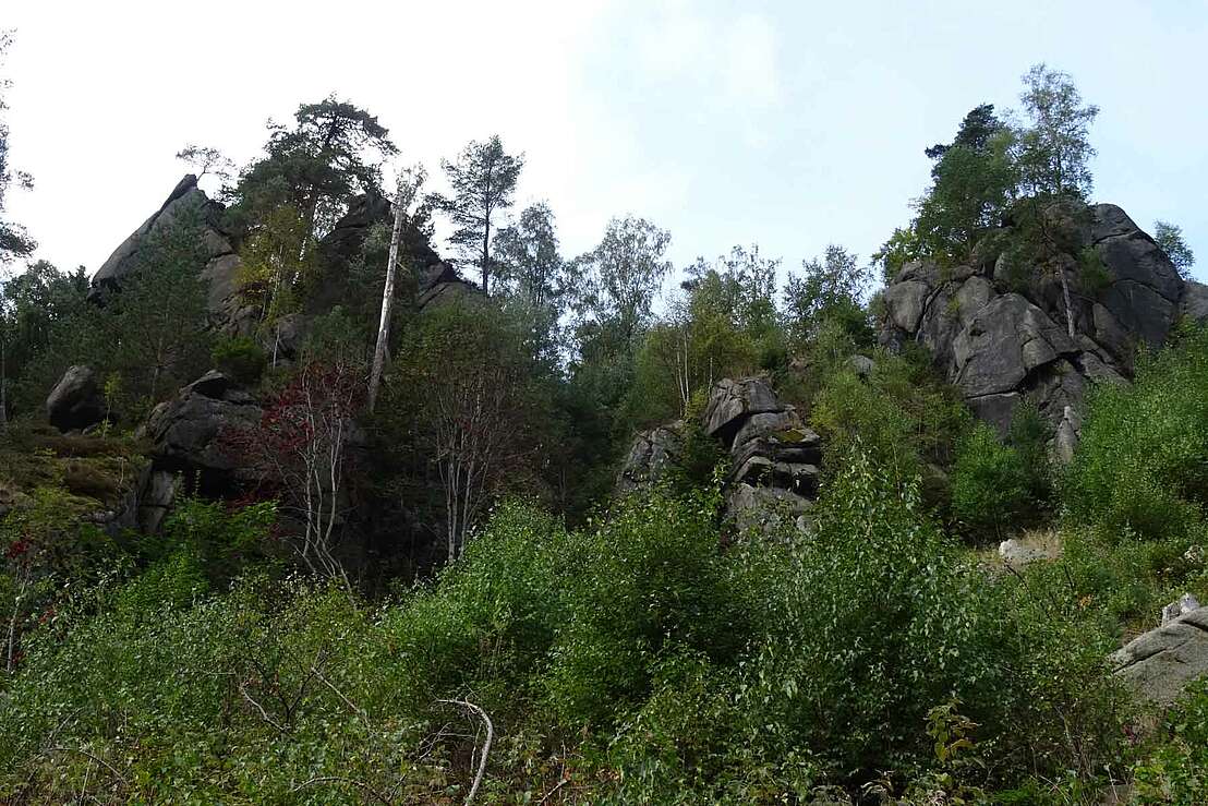
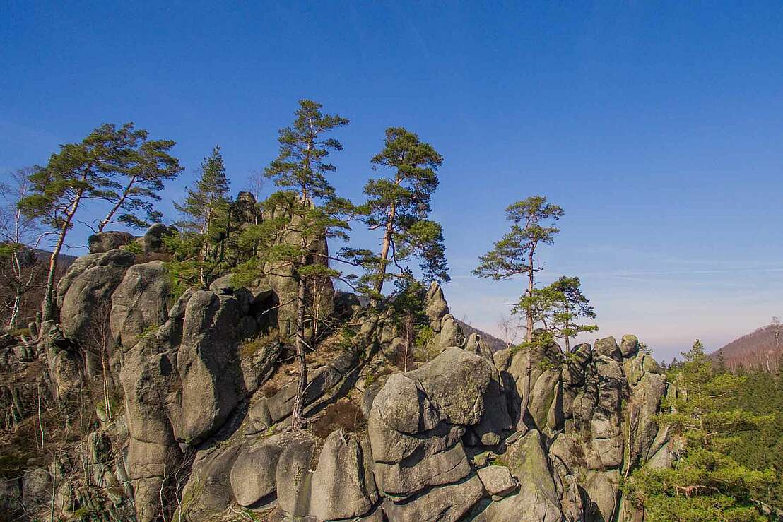
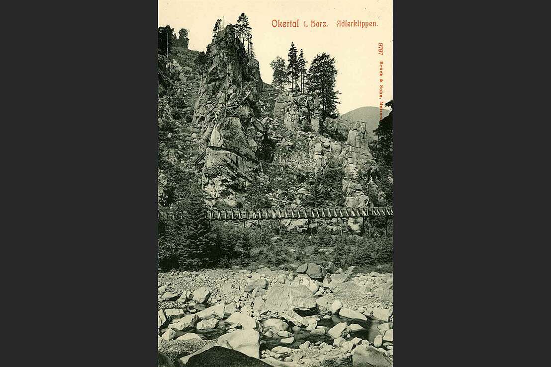
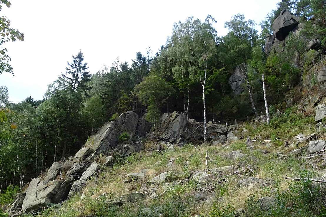
The Adlerklippe is located at the foot of the 527 metre high Kahberg in the northern Oker Valley and is a striking granite rock that is particularly popular with climbers. Despite its small size, the almost vertical and 15 metre high rock face is an interesting challenge for experienced climbers. If the Adlerklippe is not enough for you, the Marienwand and the Treppenstein in the immediate vicinity are other popular rock formations suitable for climbing for the next adrenalin kick.
View from the Adlerkanzel
The Adlerklippe in the Oker valley is not only popular with climbing enthusiasts, but also with hikers and nature lovers. From the so-called Adlerkanzel, you can enjoy a good panoramic view into the distance despite the valley location and the densely overgrown forest. Despite the somewhat limited view of only small sections of the landscape and the rocks opposite, it is well worth the climb to the viewing point via the narrow path with steps and railings.
Hike to the eagle cliff
The Adlerklippe is best reached via the hiking trail through the Oker Valley, which leads directly past the granite cliff. The starting point is, for example, the equalising reservoir of the Oker dam in the south of the village of Oker, where there are various parking facilities near the B498. But there are also several hiking routes starting from the bus stop in the southern part of the village, all of which lead through the Oker valley, but differ more or less in terms of course, difficulty, distance and duration.
Here you will find various hiking routes starting from the bus stop in the southern part of Oker, which lead past the aforementioned Eagle's Cliff as well as other rocky cliffs and excursion destinations:
Harzspots gives you the
Komoot Harz Region Package for free!
Use our voucher from the Outdoor Navigators Komoot and get the „"Harz Regions Package“ free of charge. From now on you can get to know all hiking and cycling routes digitally and, if you wish, also voice-guided!
 Rating
 Rezensionen


