Heinrich-Heine-Weg im Harz

On the trail of Heinrich Heine to the Brocken
Hiking trailsHarzspots Vacation planner
| Name | Date |
|---|
The Heinrich Heine Trail leads from Ilsenburg up to the highest mountain in the Harz, the Brocken (1,142 m), and is named after the famous poet Heinrich Heine, who took this very trail in September 1824 on his descent from the Brocken towards Ilsenburg. He immortalised his experiences as a kind of travelogue in his famous work "Harzreise". The hiking trail, which is considered to be very challenging, requires a very good level of fitness - not least because around 850 metres in altitude have to be conquered over a distance of 2x 11 kilometres, most of which is in the last third of the route. In addition, the trail has inclines and declines of up to 15%, takes around 3.5 hours to complete each half and involves temperature fluctuations of up to 10 degrees Celsius due to the differences in altitude. During the hike along the Heinrich-Heine-Weg and the return tour via the Gelber Brink, a total of 4 Harzer Wandernadel stamps can be collected. Among them:
- Stamp no. 6 (Obere Ilsefälle, Bremer Hütte)
- Stamp no. 8 (Stempelsbuche)
- Stamp no. 9 (Brockenhaus)
- Stamp no. 22 (Gelber Brink)
Course of the Heinrich Heine Trail
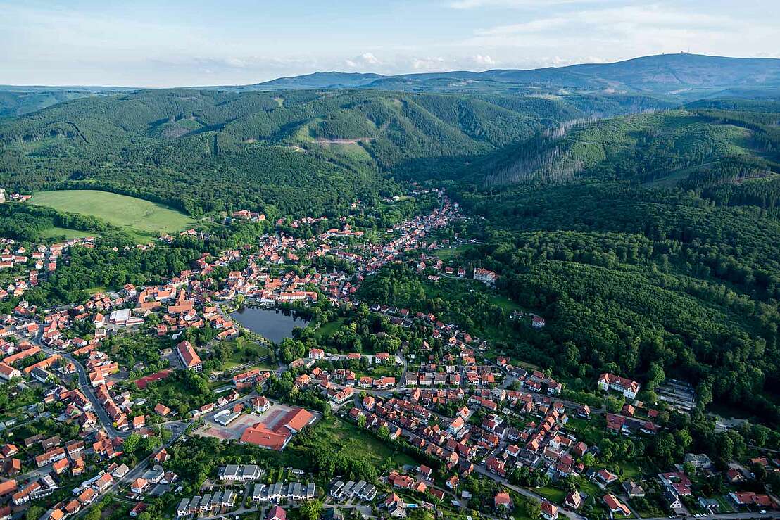
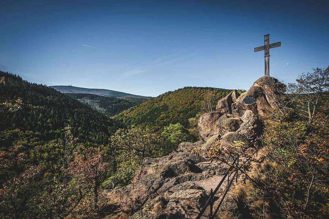
The Heinrich Heine Trail begins at the Ilsetal hiking car park in the immediate vicinity of the Ilsetal adventure forest and continues along the Ilse through the valley with its rugged rocks and dense forests. After just 2 kilometres, the 150-metre-high plateau of the Ilsestein with its striking Iron Cross rises up on the left.
The Ilse Falls: Natural spectacle and Heine memorial
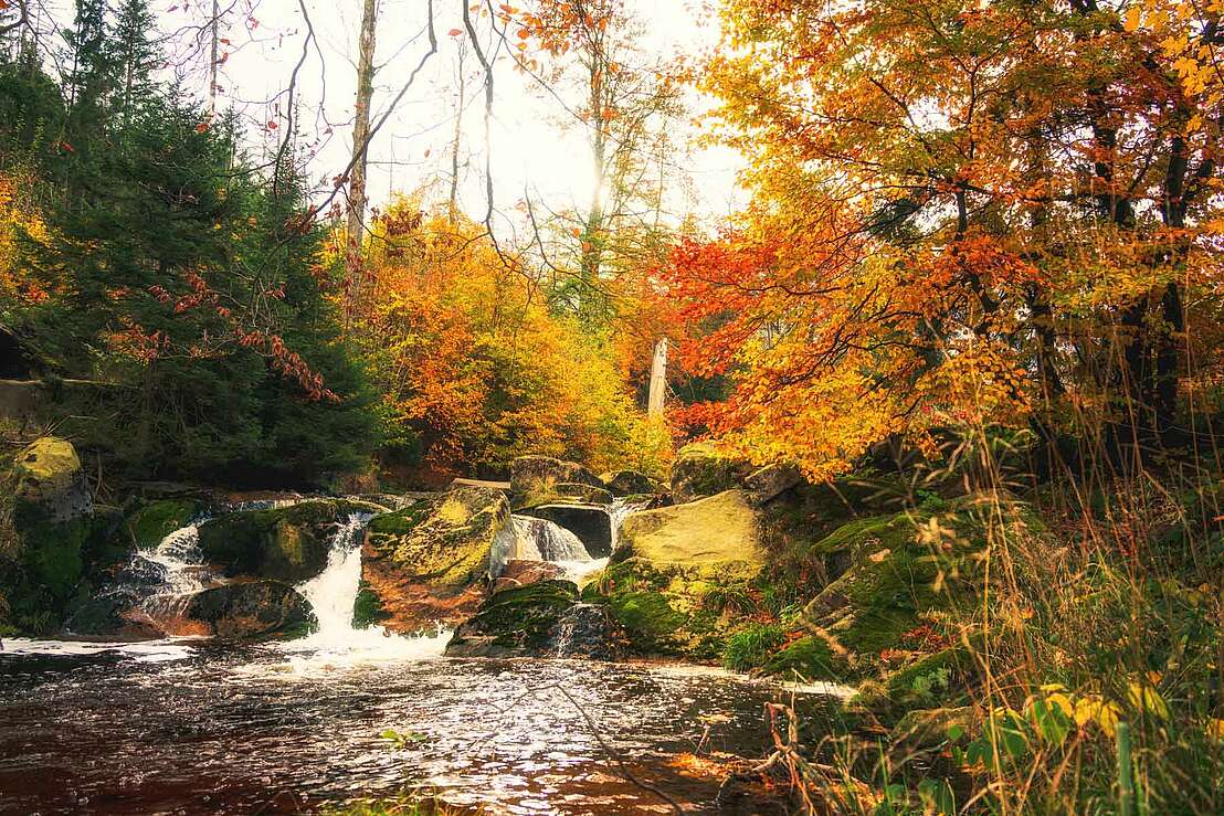
Continuing along the Ilse, after just 4 kilometres you reach the Ilse Falls, which Heine described in detail in his Harz journey. In memory of him, the Heinrich Heine memorial is located here, close to the previously described Bremer Hütte, with stamp point 6 of the Harz hiking pin. The Ilse Falls, which look almost like rapids, are enchanting with their cascading waterfalls and offer an ideal opportunity for a break. Some people could watch the natural spectacle of water and rock for hours.
From the Stempelsbuche to the ascent via the Hirtenstieg
Well rested, the route continues along the path and after another kilometre, stamp point number 9 awaits at Stempelsbuche. Unfortunately, the eponymous and once magnificent beech tree no longer exists, which is why only the remaining tree stump reminds us of it. Once you reach the Hirtenstieg, a former border path, the actual ascent to the Brocken begins. Here you can experience nature at close quarters, some of which has been untouched for more than 50 years. The Bismarck cliffs that follow are also a special highlight of the hike thanks to their unique view of the northern Harz foreland and the Eckertalsperre dam.
The Brocken: Reward with panoramic views and descent options
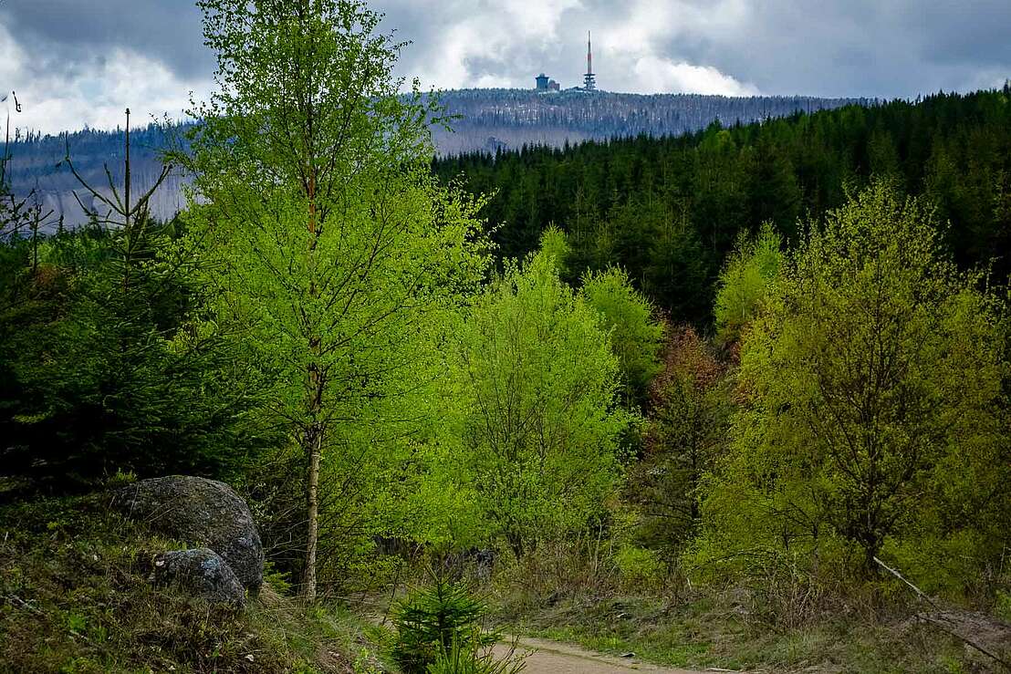
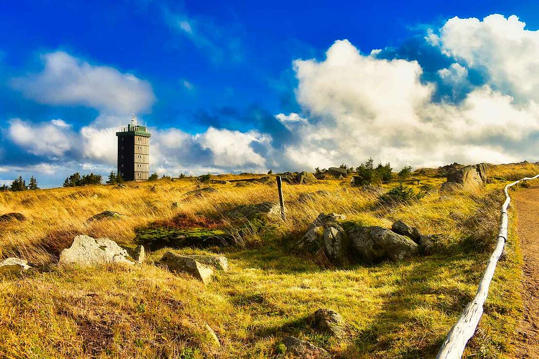
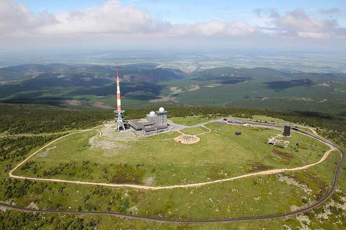
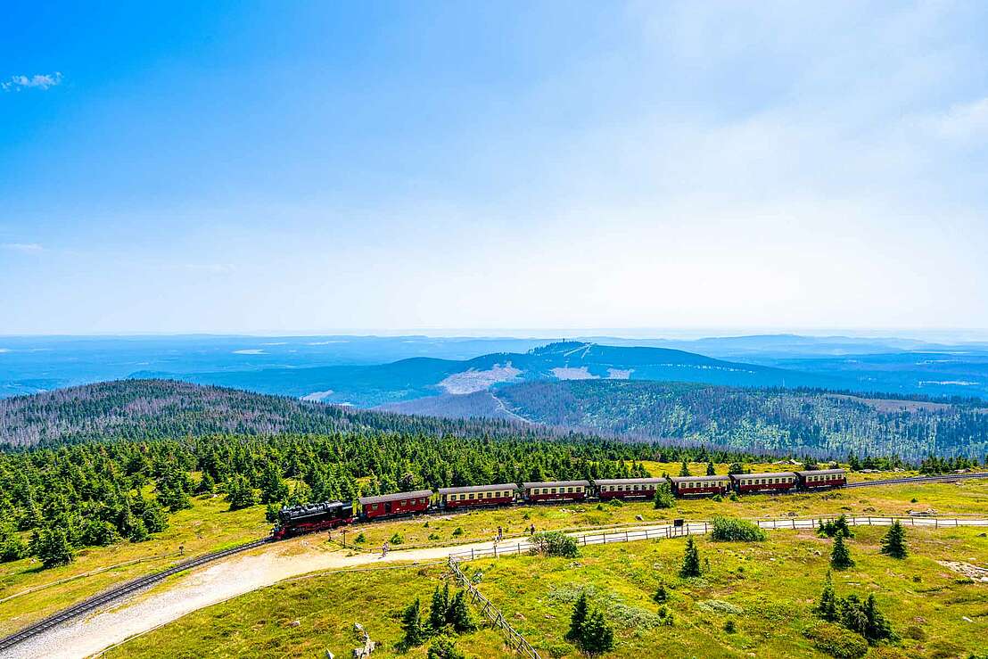
With a gradient of more than 15 %, the climb is now quite steep - but the effort is worth it. Once you reach the top of the Brocken plateau, you can enjoy the panoramic view, depending on the weather, and it offers an ideal opportunity to recharge your batteries before the descent, which should not be underestimated. If you don't want to make the descent on foot, you can also wait for the next trip on the Brocken Railway and take the rustic railway back down from the Brocken.
The way back through the Gelber Brink
The descent on foot, however, leads after a longer road through a veritable Harz primeval forest, also known as the "Yellow Brink". On the way down, you pass the "Eisernen Handweiser" and the natural phenomenon of the "Verdeckte Ilse". Here, the water of the Ilse partially disappears under rocks and only reappears on the surface further downstream. Further along the path, you finally return to the well-known Ilse valley.
Ilsetal 5
38871 Ilsenburg
Harzspots gives you the
Komoot Harz Region Package for free!
Use our voucher from the Outdoor Navigators Komoot and get the „"Harz Regions Package“ free of charge. From now on you can get to know all hiking and cycling routes digitally and, if you wish, also voice-guided!
 Rating
 Rezensionen