Oberharzer Gräben
A paradise for hiking enthusiasts
UNESCO World HeritageHarzspots Vacation planner
| Name | Date |
|---|
The Upper Harz ditches were constructed between the 16th and 19th centuries to supply power water to the ore mines. Like the Samson mine and the Knesebeck mine, they are part of the Upper Harz Water Regime.
Facts about the Upper Harz Ditches
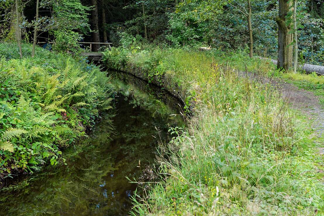
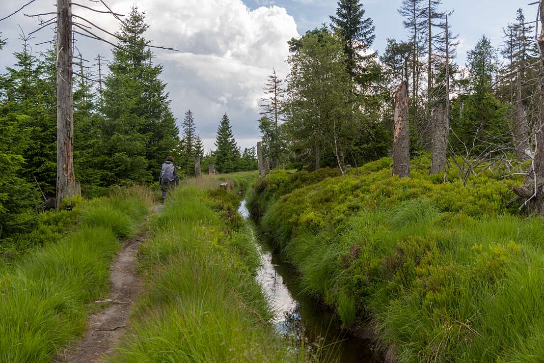
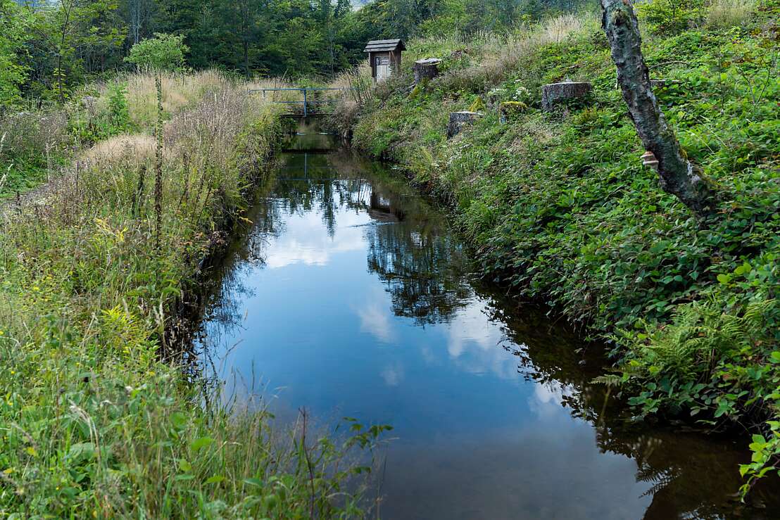
The man-made ditches run parallel to the contour lines in the terrain and consist of the ditch breast, which was fixed with the excavated earth. To protect against erosion, the Upper Harz ditches were often stabilised with dry stone masonry. They were also lined with clay or turf so that the water would not seep away. The slope of the Oberharze ditches was one to two millimetres per metre. They also had a hydraulic capacity of one hundred to two hundred litres per second. At crossings with torrents there are small weirs, so-called failures, which make it possible to regulate the flow of water. For the ditch keeper, who was responsible for maintaining the ditches, the ditch breast served as a control path. These control paths are popular hiking trails today, two of which we will introduce to you in the next section.
Hikes along the Oberharz ditches
The hike along the Morgenbrodthaler Graben is a popular circular trail. Within 6 kilometres you will pass romantic mountain landscapes, weirs, hewn rock sections and the Sösewehr. The hike starts at the Morgenbrodtsthaler Graben car park on the B 242 between Clausthal-Zellerfeld and Braunlage. There is hardly any altitude difference on the way to the large weir of the Söse, which is why the trail is also suitable for inexperienced hikers. For the way back, you can either take the same path along the ditch or follow a parallel forest road.
Another WasserWanderWeg leads along the Rehberger Graben. This is located to the north of St. Andreasberg. From the starting point at the Oderteich car park on the B 242 between Clausthal-Zellerfeld and Braunlage, it is a 7.1-kilometre descent to the Geseher Wasserlauf, where the Rehberg Graben disappears into the mountain. On the way, you pass Goetheplatz and the Rehberger Grabenhaus, which houses a restaurant. Return to the car park along the same path. You can also extend your hike to include the root path at the Oderteich pond. After the hike, you can visit the Samson mine in St. Andreasberg with its mining museum.
Harzspots gives you the
Komoot Harz Region Package for free!
Use our voucher from the Outdoor Navigators Komoot and get the „"Harz Regions Package“ free of charge. From now on you can get to know all hiking and cycling routes digitally and, if you wish, also voice-guided!


