Achtermannshöhe
Paradise for hikers
Excursion destinationsHarzspots Vacation planner
| Name | Date |
|---|
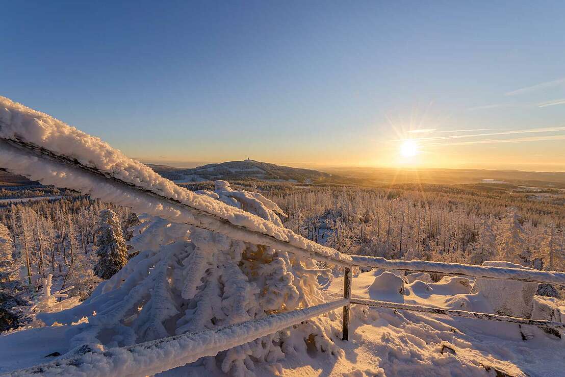
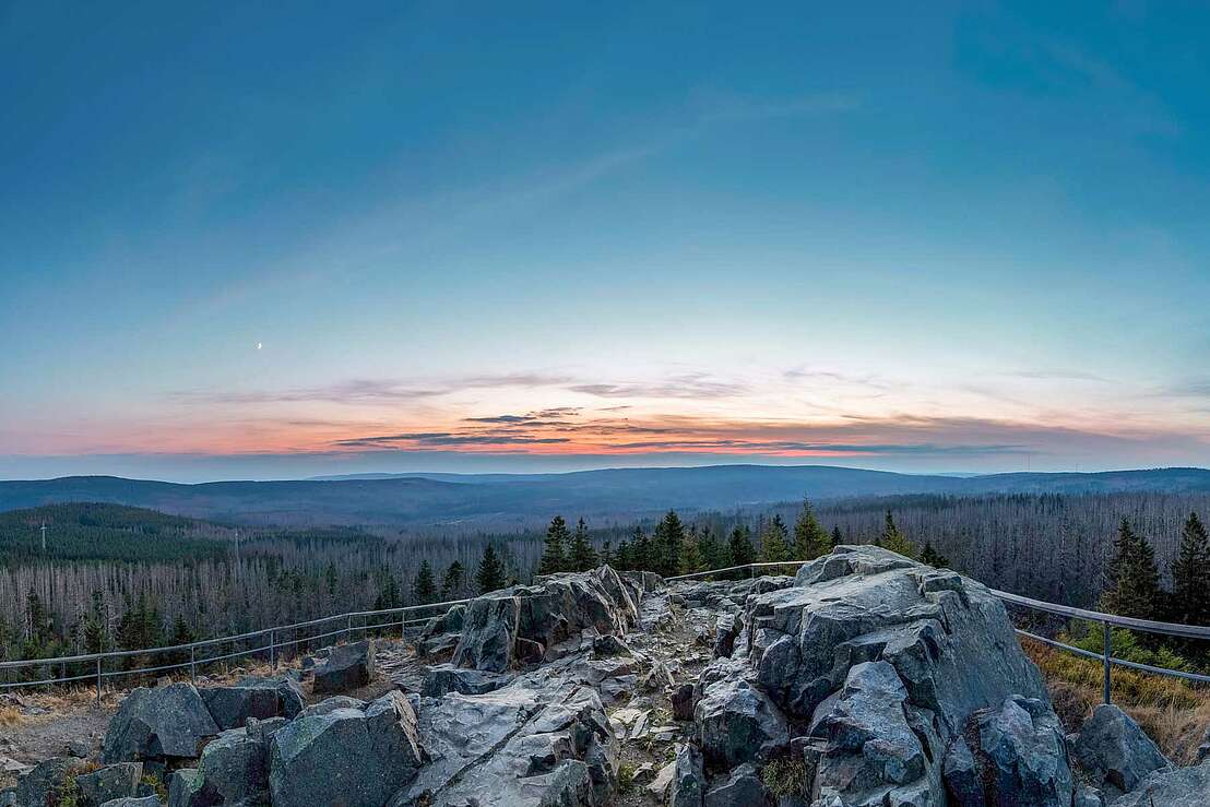
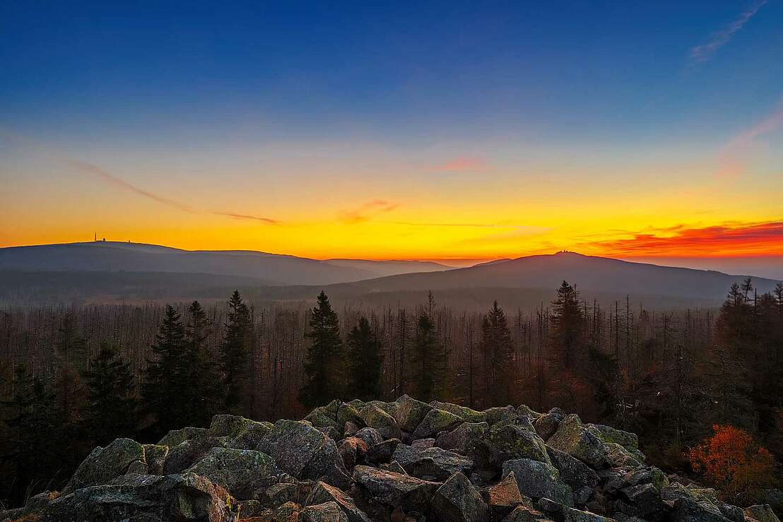
If you climb to the highest point of the Achtermannshöhe, you will find yourself 925 metres above sea level. On a clear day, the view is excellent and allows a sweeping panoramic view that extends as far as the Brocken. The Wurmberg and the antenna systems in Torhaus can also be seen. The Achtermannshöhe is the third highest mountain in the federal state of Lower Saxony and is located near the village of Königskrug, which in turn belongs to the district of Goslar. The next largest town is Braunlage.
Granite below, hornfels above
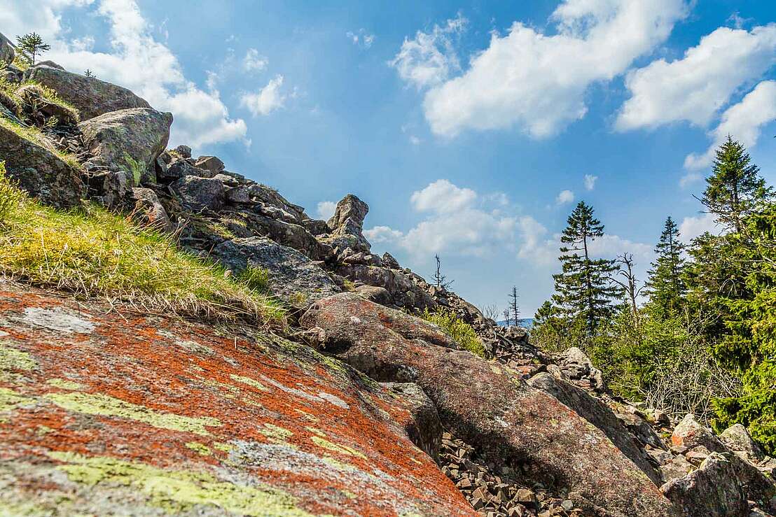
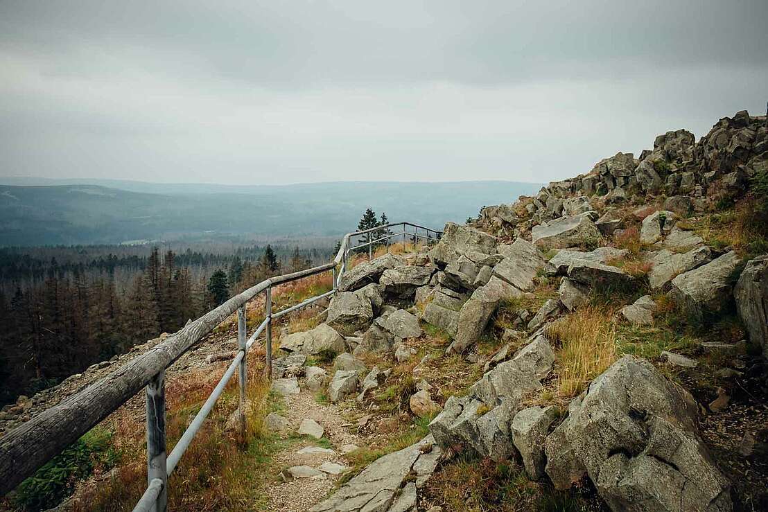
The summit area is dominated by rock cliffs, which form the uppermost layer of the approximately ten metre layer of hornfels. The base of the massif consists of granite and forms something like the static plinth area of the Achtermannshöhe. The mountain is popularly known as the "Achtermann".
Several starting points
There are several routes available to potential summiteers to reach the Achtermannshöhe. They have different levels of difficulty and different lengths. This results in different ascent times. It therefore seems advisable to obtain at least some basic information in advance. Once this has been done, hikers have several places to start from. One option is Braunlage. However, ascents can also be tackled from Königskrug and Oderbrück. Both towns are located on the B4 main road, where there are plenty of car parks. All car parks are free of charge.
Three ascent options
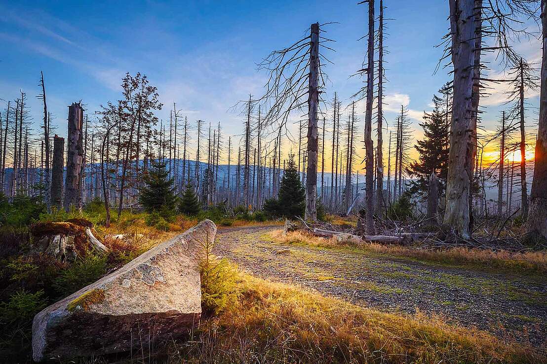
Hikers who start at Königskrug have opted for the shortest ascent. It covers two kilometres, but is relatively stony and has several steep sections. The ascent from Oderbrück is less steep. It is only 300 metres longer. A few boulders decorate the path on the final section. They can be easily circumnavigated. The approach from Braunlage is significantly longer. It is six kilometres long, but is ideal for beginners.
Harzspots gives you the
Komoot Harz Region Package for free!
Use our voucher from the Outdoor Navigators Komoot and get the „"Harz Regions Package“ free of charge. From now on you can get to know all hiking and cycling routes digitally and, if you wish, also voice-guided!
