Runde von Elend
Mauseklippe - Ascent to the Eckerloch
Hiking trailsHarzspots Vacation planner
| Name | Date |
|---|
The 24-kilometre hike along the Devil's Path, the Mauseklippe cliff to the Green Belt and the Brocken Railway begins in the small village of "Elend" between Braunlage and Elbingerode. The starting point is the town's railway station, from where the Devil's Path can be reached after just one kilometre. The Teufelsstieg is a geographical and literary-historical highlight and an absolute must when hiking in the eastern Hochharz. The trail leads uphill from Elend through overgrown nature along the cold Bode river.
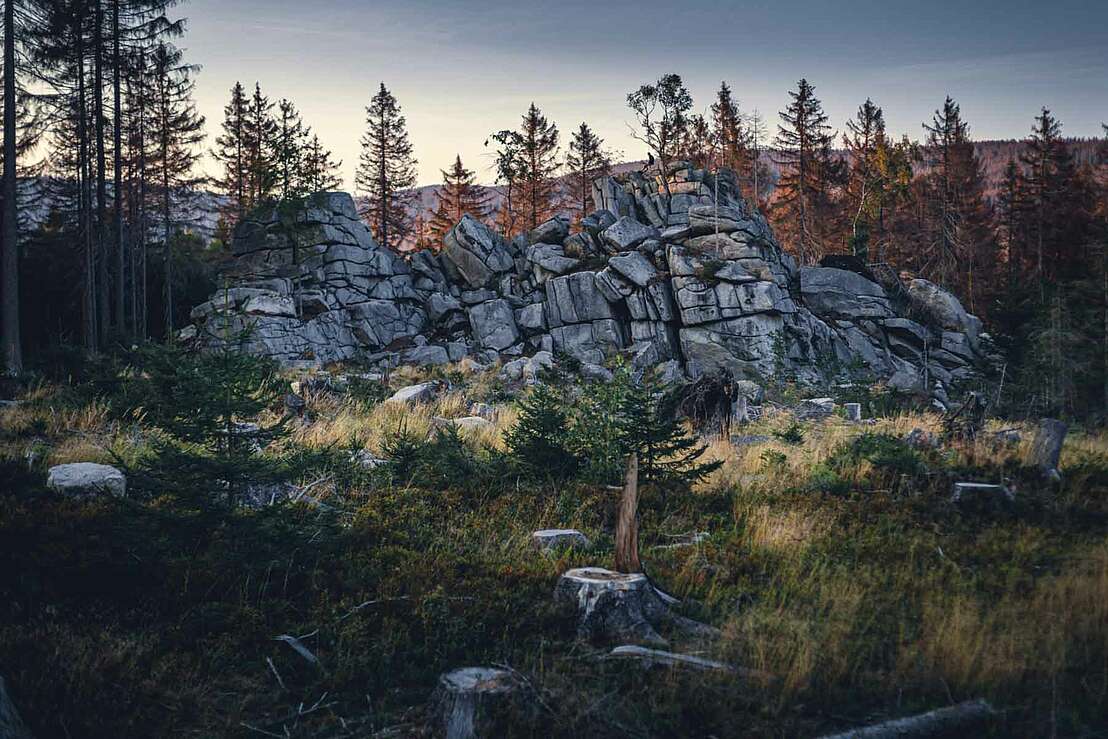
After around 3.5 kilometres, hikers reach the Mauseklippe cliff, whose granite rock formation makes you want to climb. Incidentally, the rock formation is characterised by the wool sack weathering typical of the Harz Mountains. This is a special form of weathering of rocks and gives the edges of the rock blocks a rounded appearance.
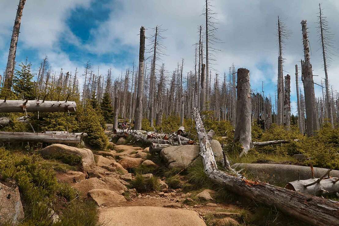
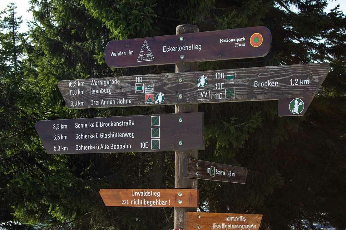
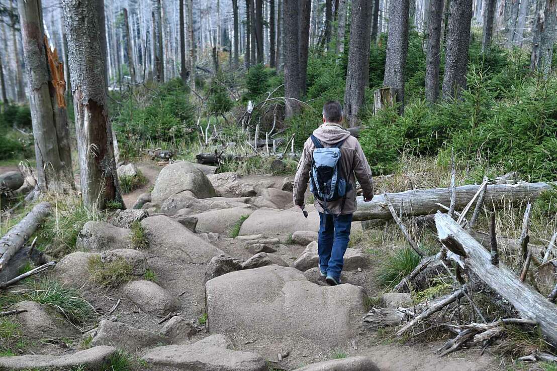
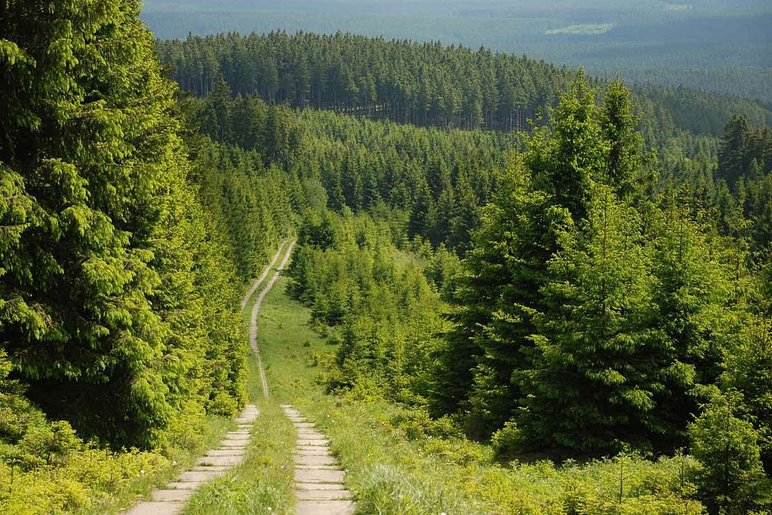
What follows is the Eckerlochstieg, the ascent of which is not entirely easy and requires stamina! If you want to rest for a while before the challenging hiking trail, you can use the rest area to take a break. Those who take on the rooted path and the mud holes will be rewarded with an extremely natural hiking route - over hill and dale towards the Brocken summit.
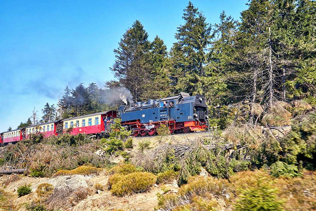
Once at the top, you can marvel at the Harz Brocken railway . The tracks are right next to the paths here, so you can see the train up close as it passes by. A trip on the railway is a must for every Harz enthusiast. The green strip on the summit of the Brocken is the former border strip between East and West and is home to a particularly rich variety of species. The Green Belt is the perfect way to preserve the forced biotope along the former border strip. In addition to its charm as a nature reserve, it is a reminder of times gone by.
Forstamtsweg 4
38875 Elend
Harzspots gives you the
Komoot Harz Region Package for free!
Use our voucher from the Outdoor Navigators Komoot and get the „"Harz Regions Package“ free of charge. From now on you can get to know all hiking and cycling routes digitally and, if you wish, also voice-guided!
