


Prinzensicht – Runde von Thale I
Hike with wonderful views along the Prinzensicht and the Bodetalblick
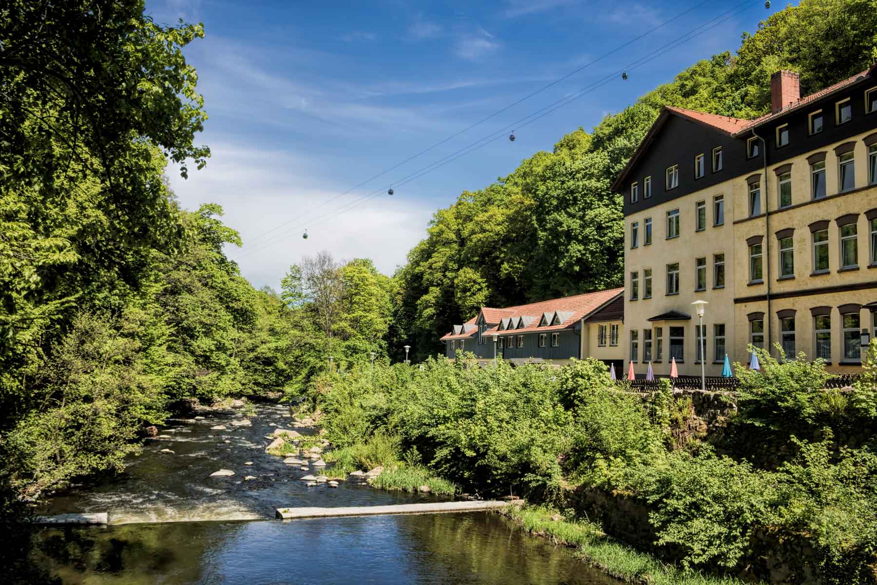
Hiking trailsThe approx. 5 and a half hour hike along the Prinzensicht and the Bodetalblick is considered a difficult hiking route and therefore requires a good level of fitness, sturdy footwear and alpine experience. The starting point is the main railway station in Thale. After around 8 kilometres, you reach the first hiking highlight, the Treseburg of the white stag. Situated at an altitude of around 460 metres above sea level, the stamp point offers a wonderful view of the Treseburg castle below.
This is followed shortly afterwards by the "Weißer Hirsch" viewpoint, which also offers an impressive overview of Treseburg Castle. From here, you can let your gaze wander over the castle and the long valley while resting on the benches at the stamp point. Of course, this rest area also has a stamp box (no. 67) for the Harz Hiking Needle. The far-reaching views as far as the Brocken are a real reward for every hiker, which is why the effort of the ascent is definitely worthwhile.
Just 5 kilometres further along the hiking route, the next view is a real hiking highlight: the Prinzensicht. Here, too, it is worth taking a break at one of the two vantage points to enjoy the sweeping views of the Bode Valley just 200 metres below. As the name suggests, the Bodetalblick, which is a little further on, also offers an equally impressive view.
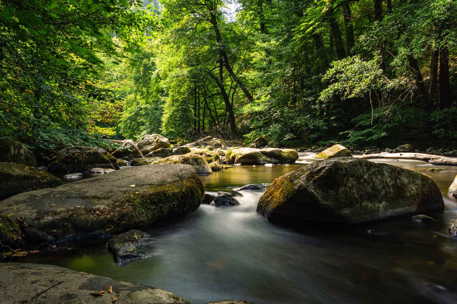
Nestled in the forest, the view is particularly impressive due to its tranquillity, clear air and bare rock faces - definitely one of the most beautiful natural views in Germany! The last hiking highlight of the tour on the way back to the railway station is the Bodetal/Thale viewpoint. From here you can enjoy the view once again before the end of the hike.
Harzspots gives you the
Komoot Harz Region Package for free!
Use our voucher from the Outdoor Navigators Komoot and get the „Harz Regions Package“ free of charge. From now on you can get to know all hiking and cycling routes digitally and, if you wish, also voice-guided!