Oberharzer Wasserläufe
A sophisticated system
UNESCO World HeritageHarzspots Vacation planner
| Name | Date |
|---|
Water shaped the face of the Harz. Today, the many ponds and watercourses of the Upper Harz mountain farmers are essential components of a graceful landscape where you can find peace and relaxation.
Would you like to learn more about them? Then come with us to explore the old installations and structures that were essential for survival. The Upper Harz Watercourses are one of Germany's most diverse UNESCO World Heritage Sites.
How it all began
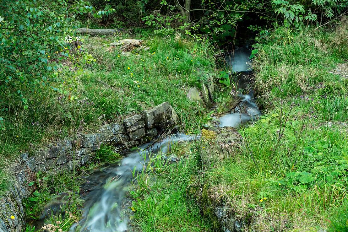
Hardly any other landscape in Germany has been shaped by mining as intensively and over such a long period of time as the Harz Mountains. In the Upper Harz, more than 500 kilometres of ditches, 120 ponds and about 30 kilometres of watercourses were created between the 16th and 19th centuries. How can one imagine this? An apt image is provided by a shelf on whose shelves the water supplies are stored, ready to hand. In history, such a water shelf is indicative of royal sovereignty over the use of water.
Solving arts to "lift water by water"
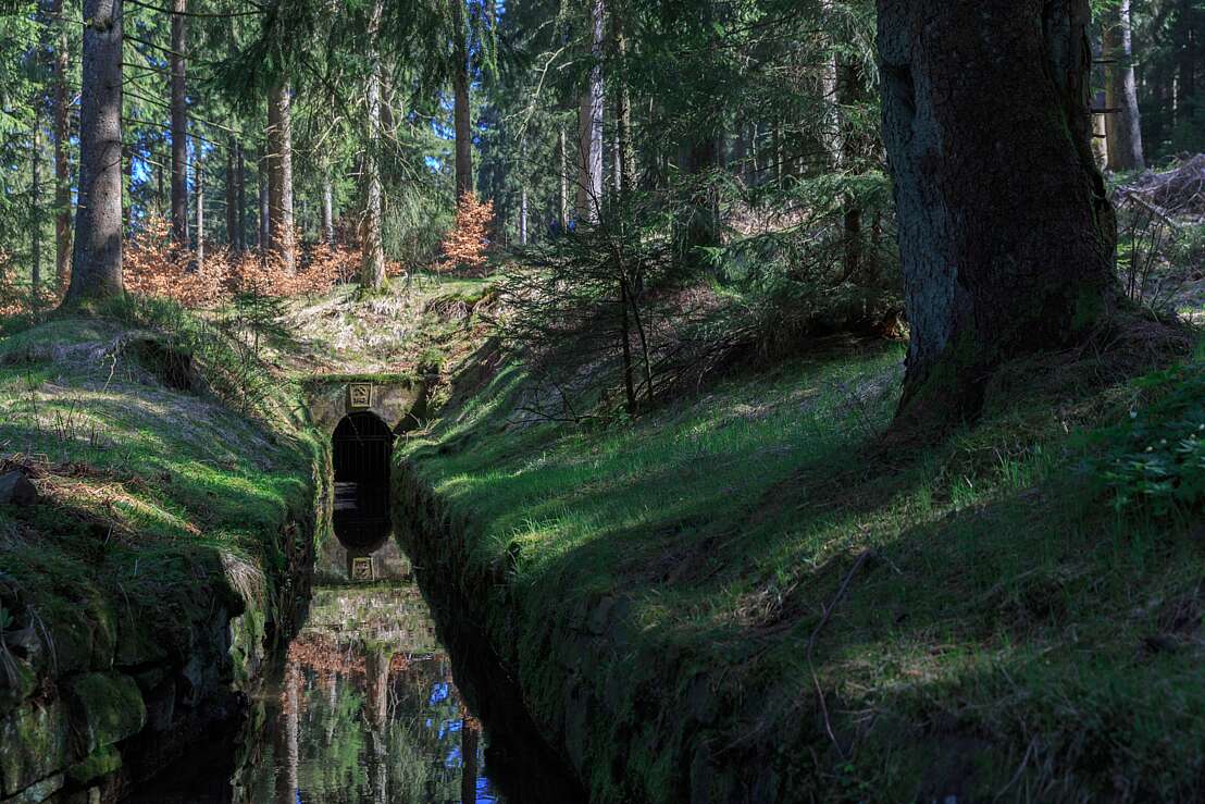
Back to mining and the associated watercourses. To raise the level at which water was to be fed to the mines, watercourses (tunnels) were driven through the rocks at the end of the 17th century. From this time onwards, the miners of the Upper Harz built a total of 31 kilometres of watercourses for their mining activities. To this day, the Oberharz watercourses have been substantially preserved and carry water for 21 kilometres. This water management system is unique and has been a recognised UNESCO World Heritage Site since 2010.
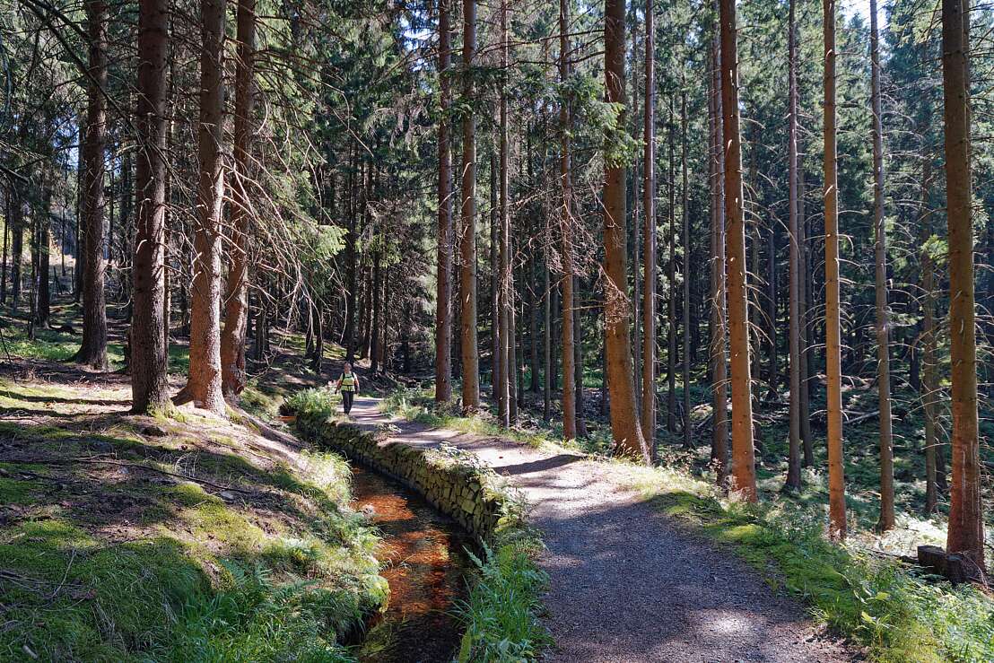
An idyll of nature, yet a masterpiece of human hand: on the hiking trails of the Oberharz Water Regal. You can experience this idyll on tranquil water trails that stretch over a length of 110 kilometres. Here you can explore the technical masterpieces of water management and mining.
The most important watercourses at a glance
- The Sperberhaier Damm, which joins the old Dammgraben, was built in the 18th century. It is an aqueduct of the Oberharzer Wasserregal. It was built in two phases.
- The 760-metre-long Upper Schwarzenbach Watercourse, walled in natural stone, dates from 1808. It connects the drainage area of the Söse with the Oker.
- The Franz Auguster watercourse is 777 metres long. It was carved out of the rock in 1832 in the statically optimal profile and lined with natural stone.
- The Schulte tunnel, built in 1838, stretches over 1220 metres and its watercourse reaches from the Innerste to Wiemannsbucht.
Harzspots gives you the
Komoot Harz Region Package for free!
Use our voucher from the Outdoor Navigators Komoot and get the „"Harz Regions Package“ free of charge. From now on you can get to know all hiking and cycling routes digitally and, if you wish, also voice-guided!


