
Thale Musestieg | Brühlpark Quedlinburg
Easy cycle tour from Thale to Quedlinburg
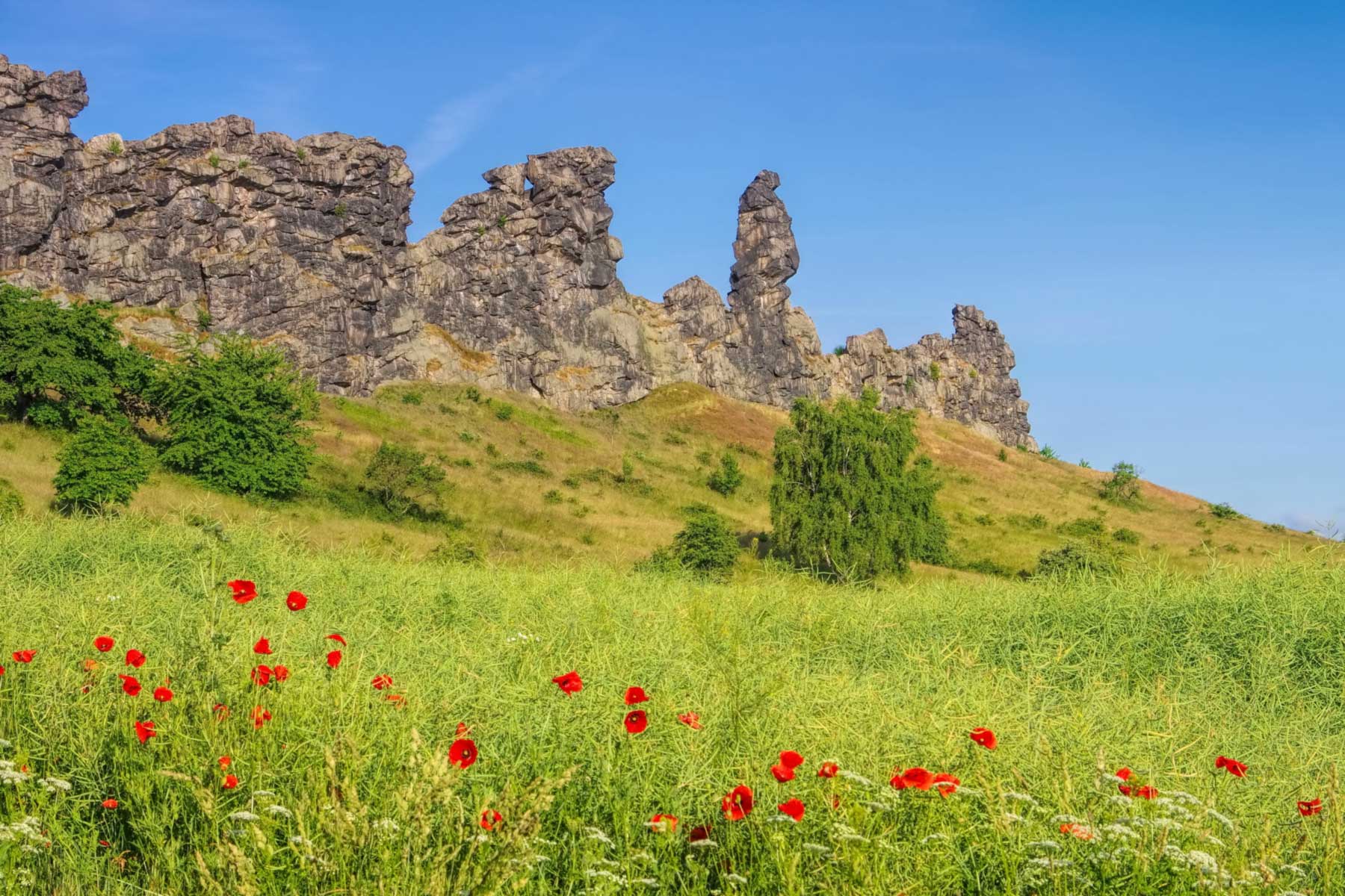
Bicycle routesThanks to the flat terrain, this easy cycle route is suitable for all fitness levels and fitness levels, good or bad. The route, which is around 20 kilometres long and takes 1.5 hours , starts in Thale at Musestieg station, which is easily accessible by all means of transport. The first cycling highlight of the route is the Teufelsmauer Stieg. A good cycle path leads below the Teufelsmauer (Devil's Wall ) along the River Bode, offering a great view of the rock formation. The nearby Marienhof offers a good opportunity for a rest - with coffee, baked goods or even ice cream.
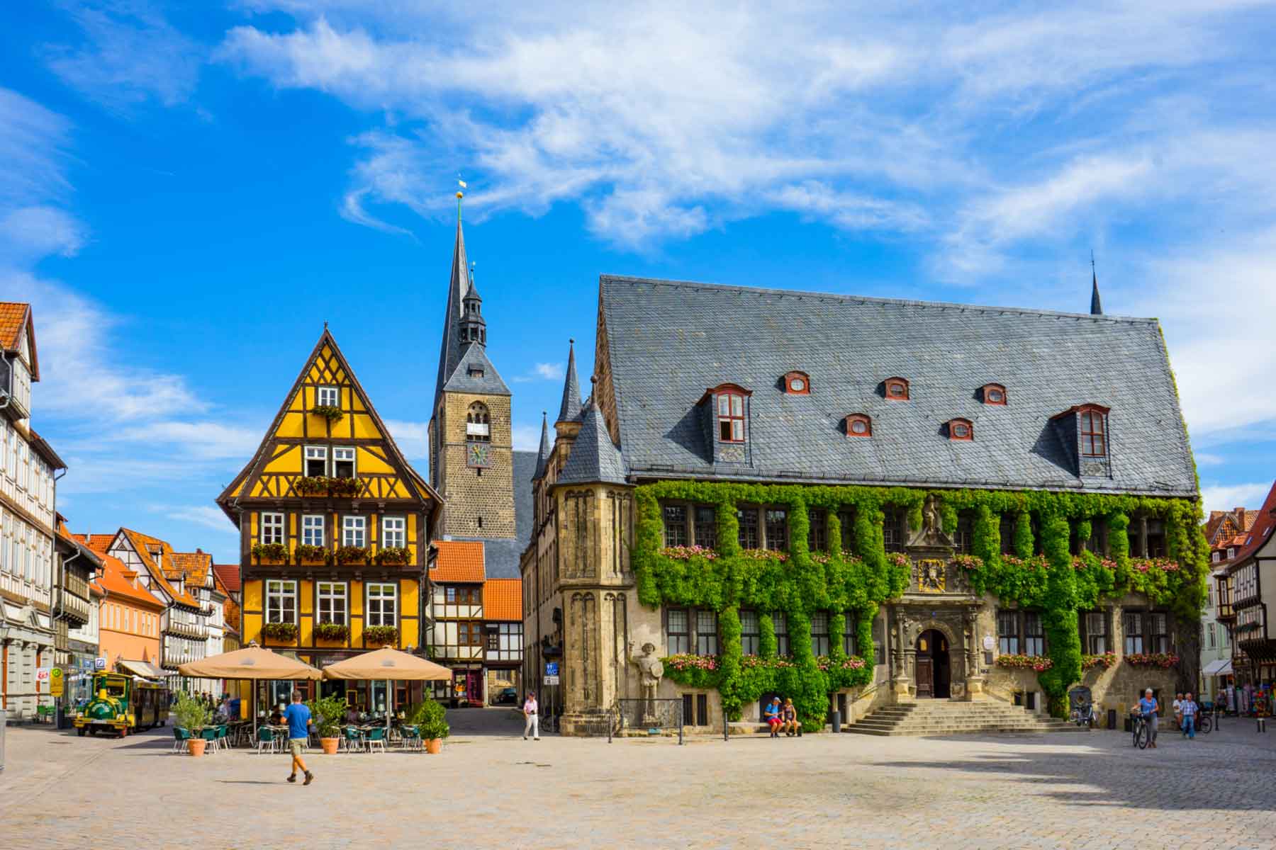
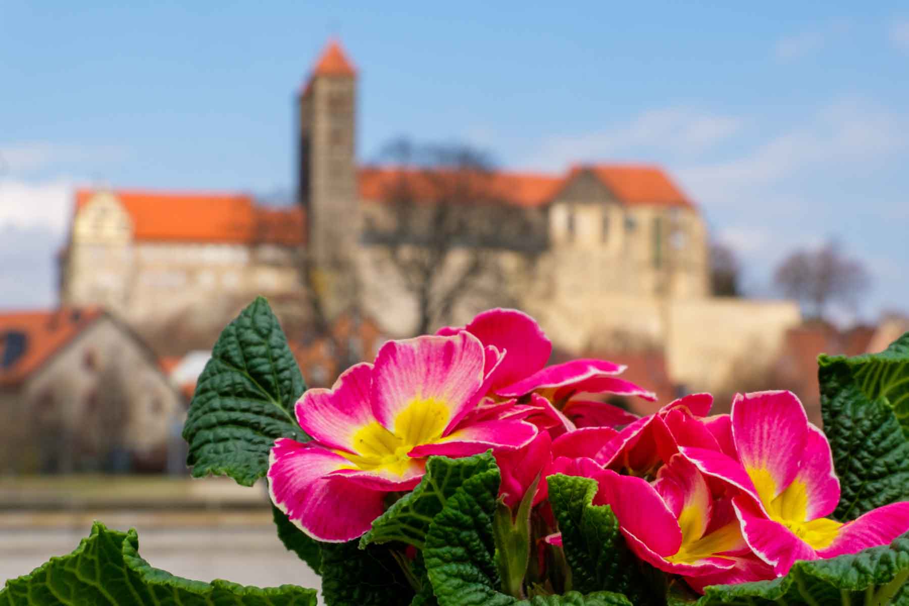
Continuing northwards, the route finally leads to the beautiful town of Quedlinburg, which is certainly one of the most beautiful small towns in Germany with its renovated half-timbered houses. There is something for tourists to discover on every corner. Definitely a small town worth seeing in the middle of the Harz Mountains. Highlights of the town of Quedlinburg include the old listed waterworks in the historic old town of Quedlinburg and the Abbey Garden, which shines in all its splendour, especially in spring and summer, and invites cyclists to take a break with a beautiful view of the castle.
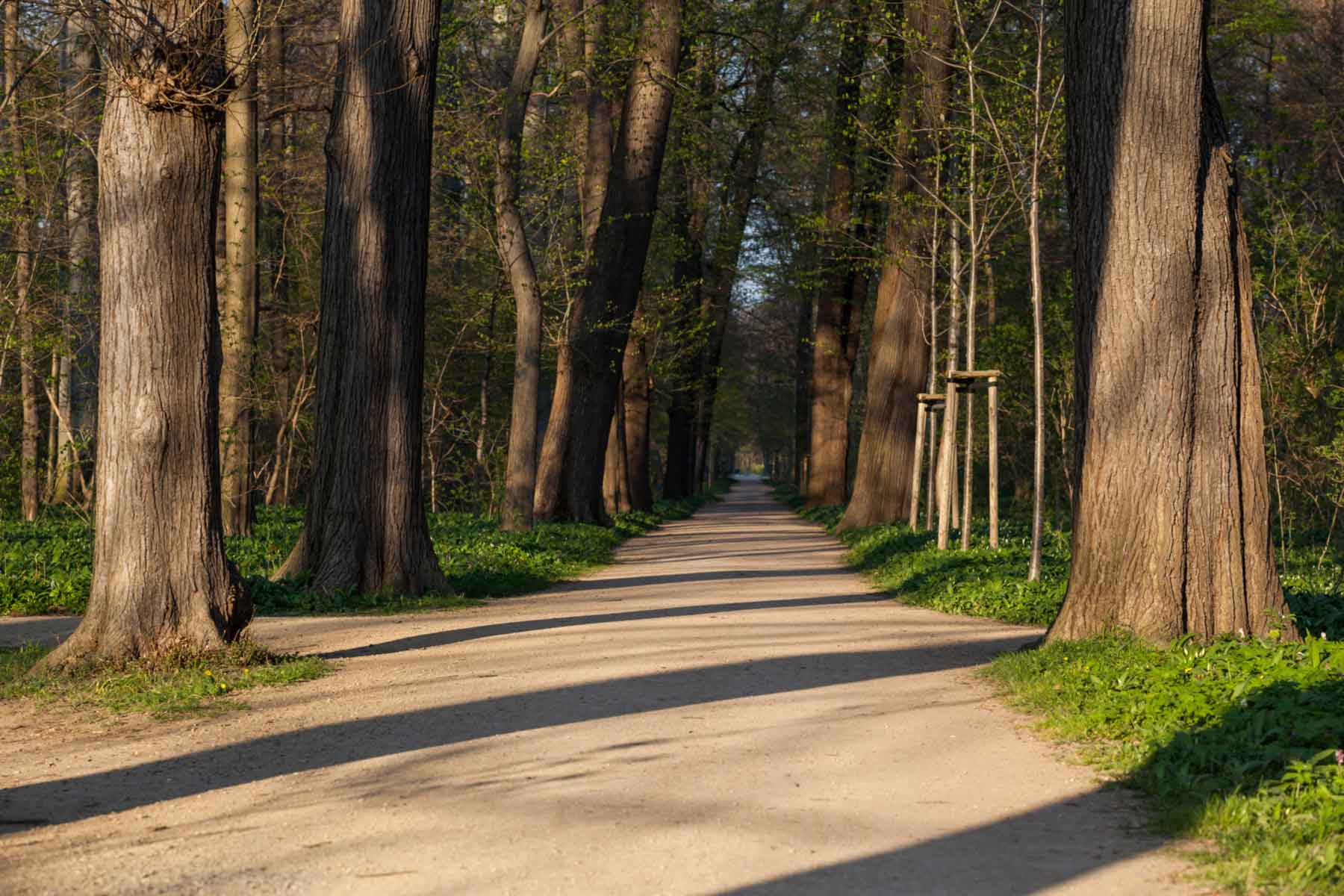
At least as beautiful is the centre of Brühlpark, a park to the south of the castle hill, and the "Bank an der Bode" shortly afterwards. As the name suggests, cyclists and walkers will find a nice little bench here as a great place to picnic and cool off.
On hot summer days, you can step right up to the water's edge to cool your feet in the cool water. The cycle route then follows a straight path back towards Thale, where the cycle tour ends.
Bahnhof Musestieg
06502 Thale
Harzspots gives you the
Komoot Harz Region Package for free!
Use our voucher from the Outdoor Navigators Komoot and get the „Harz Regions Package“ free of charge. From now on you can get to know all hiking and cycling routes digitally and, if you wish, also voice-guided!