Nordhausen | Talsperre Kelbra
Medium-difficulty tour on the southern edge of the Harz Mountains without steep climbs
Bicycle routesHarzspots Vacation planner
| Name | Date |
|---|
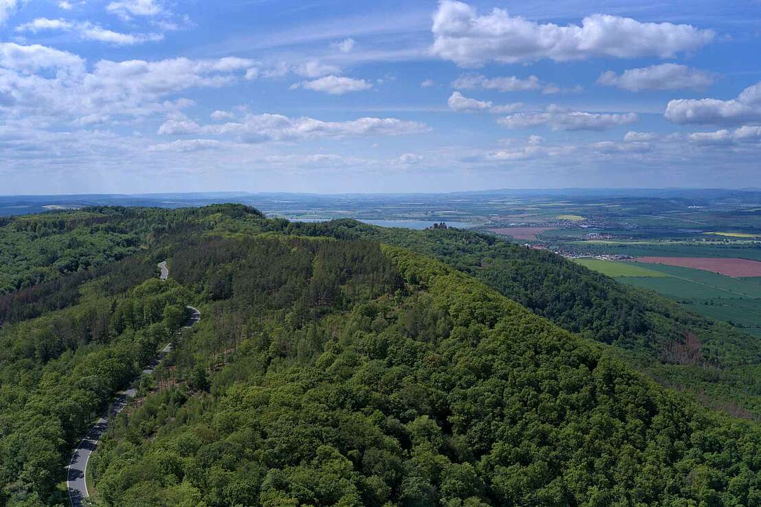
This route runs on a well-maintained surface and has only a few metres of elevation gain. Starting in the centre of Nordhausen, you reach the glider airfield after around 4 kilometres in an easterly direction and then stay on this side road south of the Harz mountains until the Kelbra reservoir comes into view after around 18 kilometres.
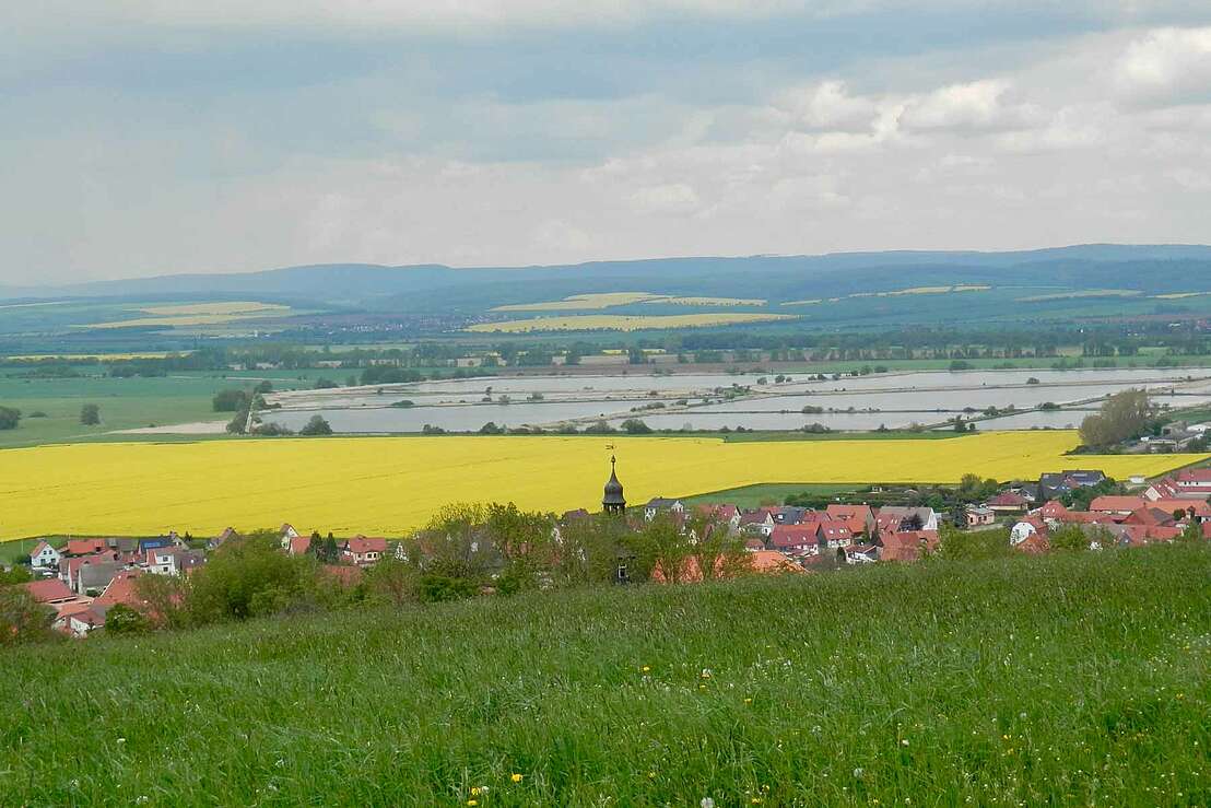
The cycle path runs along the dam wall and is in very good condition. You have the Harz Mountains behind you, the dam to your right and a view of the Kyffhäuser mountains ahead. Further details about the Kelbra Dam can be found in this advert.
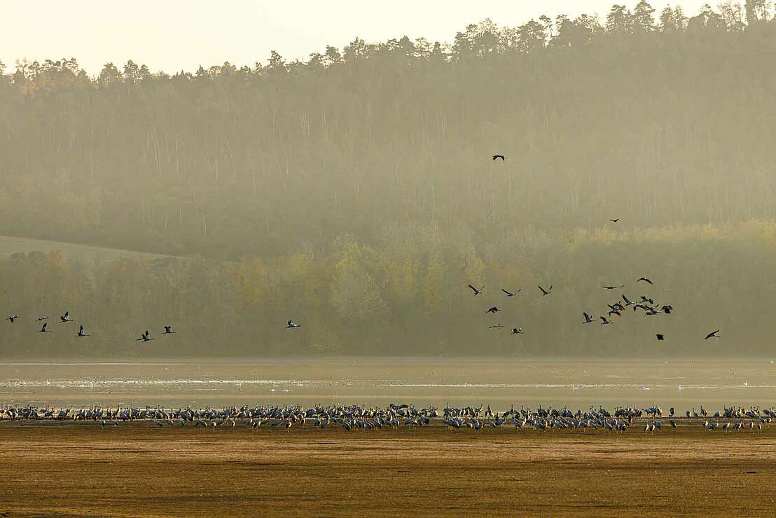
At the height of the village of Kelbra, the path then leads in a westerly direction around the reservoir. Below the Schlossberg there is a shelter for observing the wildlife on the lake. If you pass by at the right time, thousands of cranes can be seen resting here.
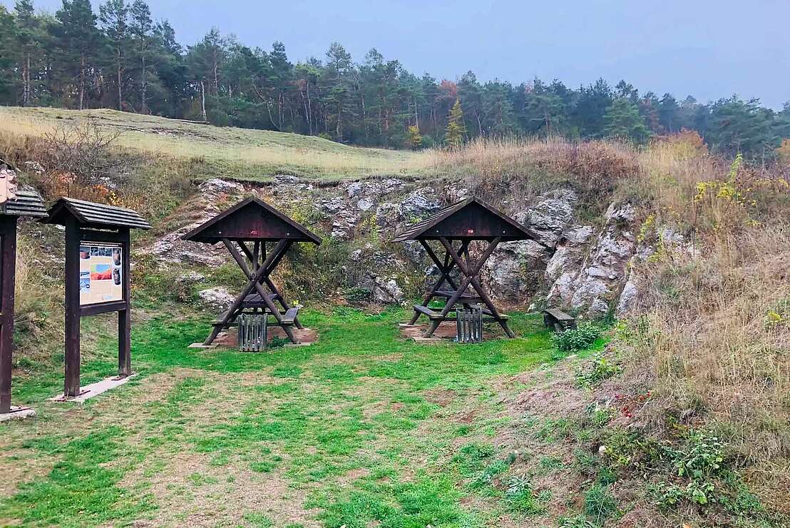
Shortly behind it, on the way to Auleben, is the Solberg with the Taternlinde, an archaeological site at the brine spring with Neolithic burial mounds - a protected archaeological monument. Around 30 minutes later, you reach the gravel pond of Windehausen and the village of the same name. Now head north towards the Harz Mountains until you reach the road to Nordhausen again at Urbach, where the tour ends after a good three hours of travelling.
Hesseröder Str.
99734 Nordhausen
| Start : | Bahnhof Hesseröder Str., Nordhausen |
| Stop : | Bahnhof Hesseröder Str., Nordhausen |
| Distance : | 47,4 |
Harzspots gives you the
Komoot Harz Region Package for free!
Use our voucher from the Outdoor Navigators Komoot and get the „"Harz Regions Package“ free of charge. From now on you can get to know all hiking and cycling routes digitally and, if you wish, also voice-guided!
